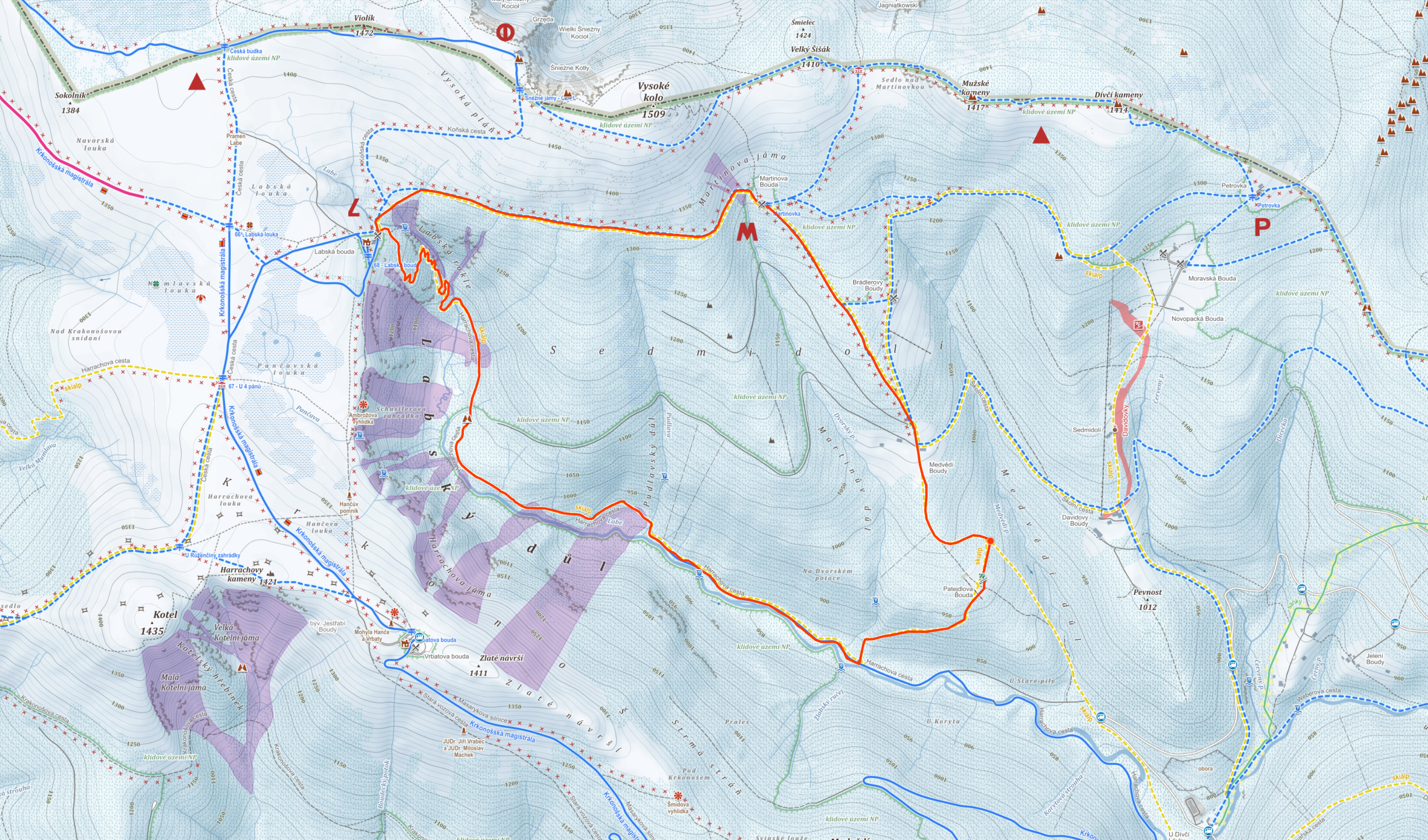
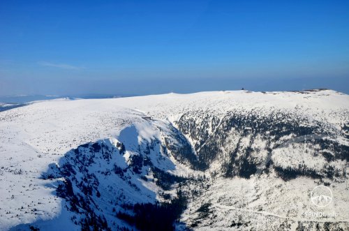
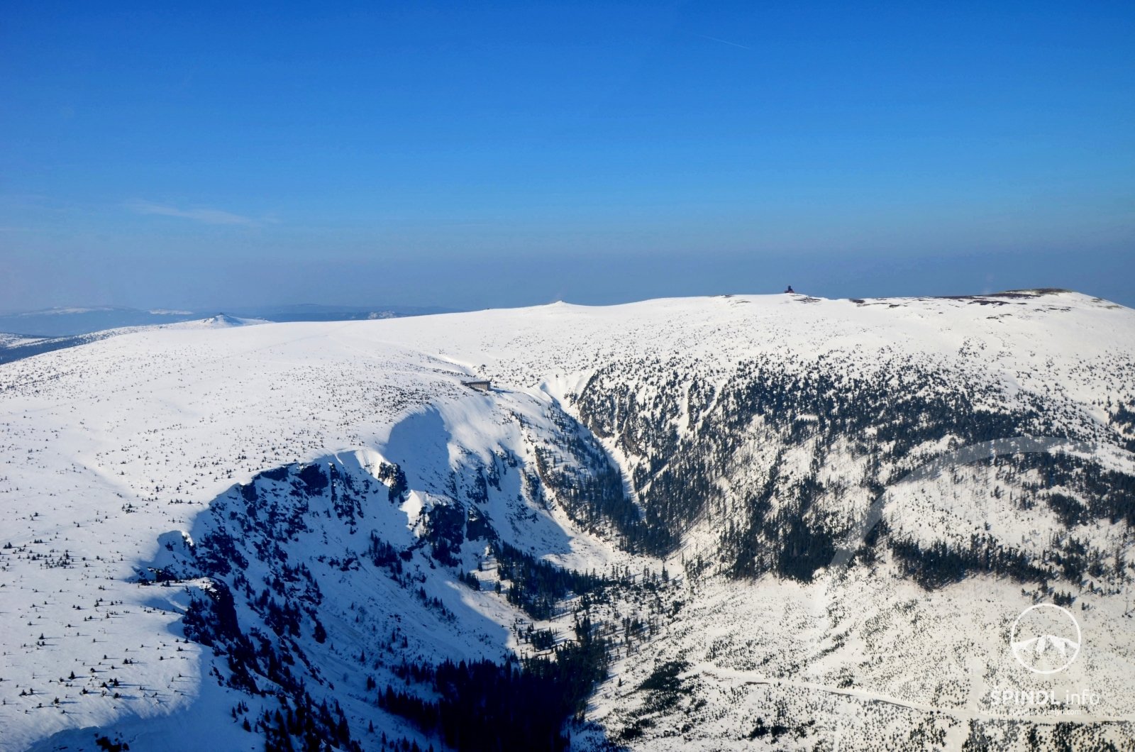
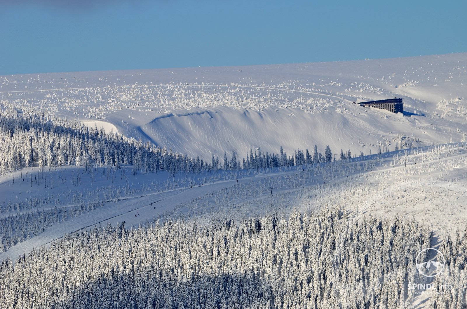
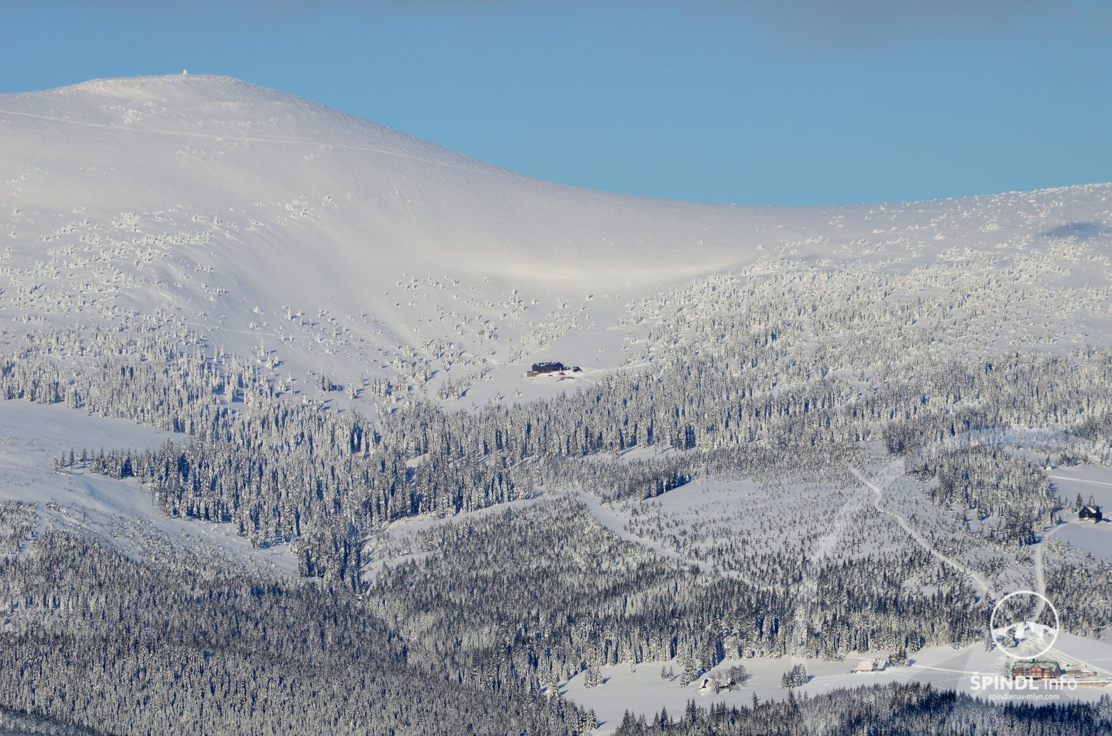
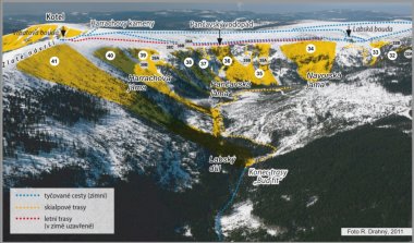
2. TIP Skialp tour Špindlerův Mlýn - Martinovka - Labská bouda - Labský důl - Dvorský potok - Patejdlova bouda - Špindl LEGEND TO COLOR HIGHLIGHTING THE TEXT BELOW: blue - difficult terrain red - avalanche terrain purple - difficult orientation and…
2. TIP Skialp tour Špindlerův Mlýn - Martinovka - Labská bouda - Labský důl - Dvorský potok - Patejdlova bouda - Špindl
LEGEND TO COLOR HIGHLIGHTING THE TEXT BELOW:
- blue - difficult terrain
- red - avalanche terrain
- purple - difficult orientation and avalanche terrain together
- black - other warnings, or steep mountain terrain
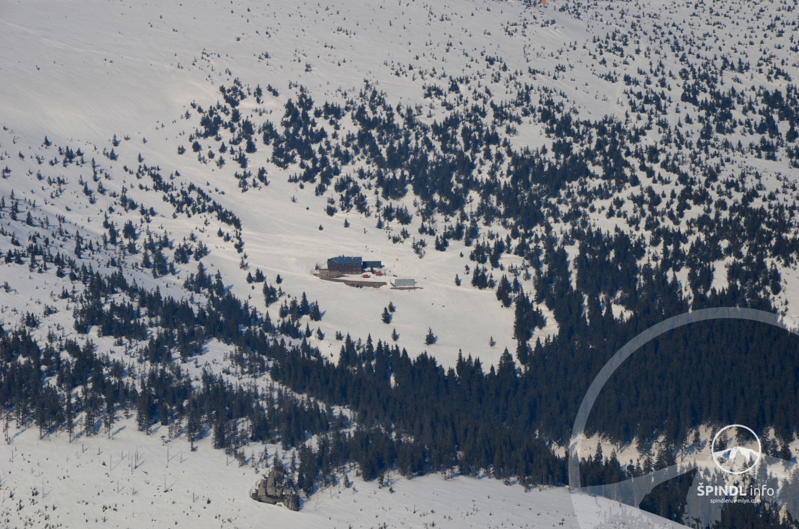
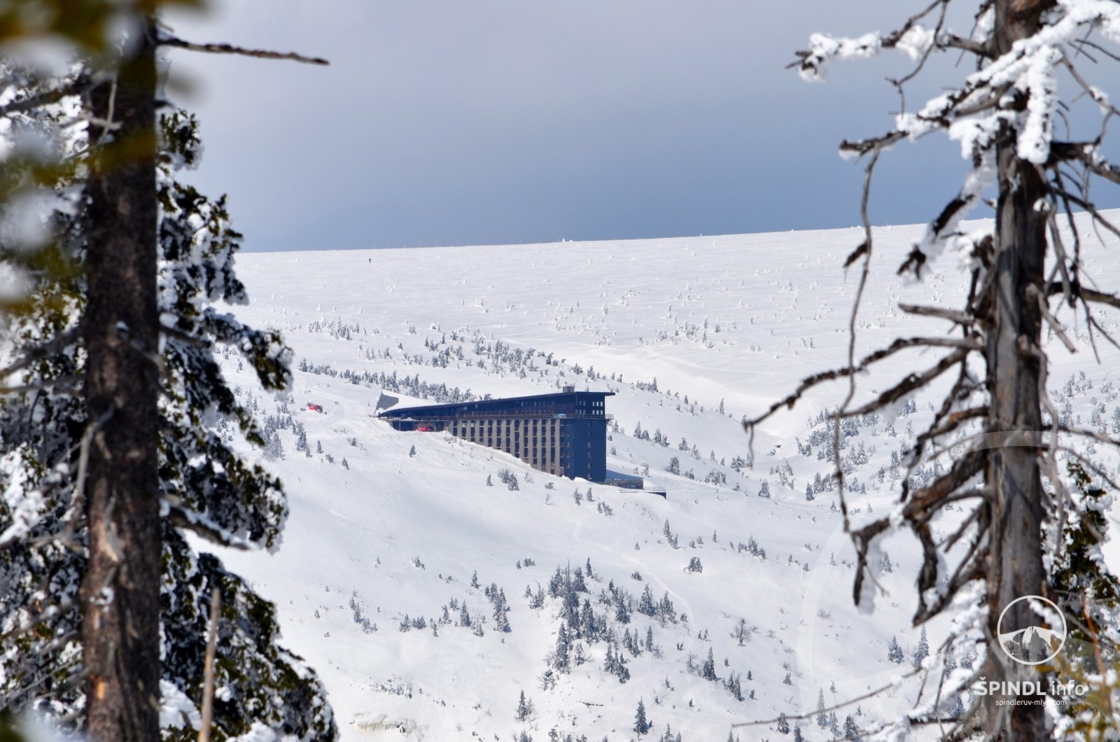
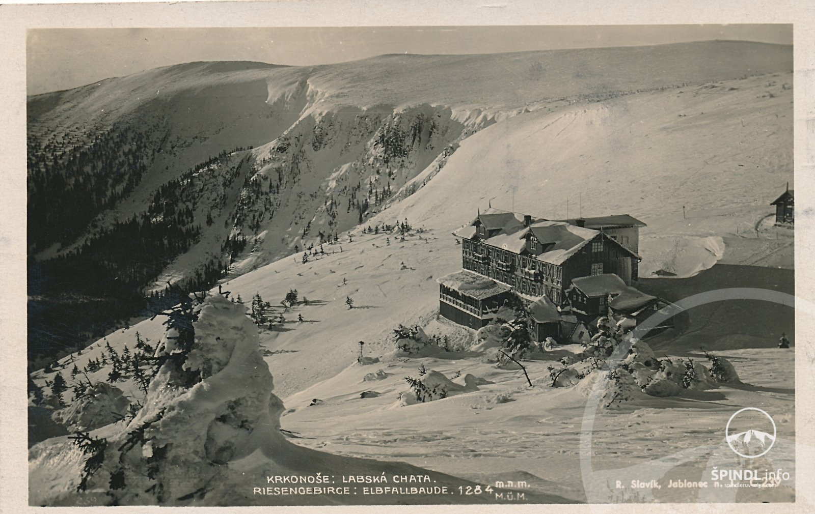
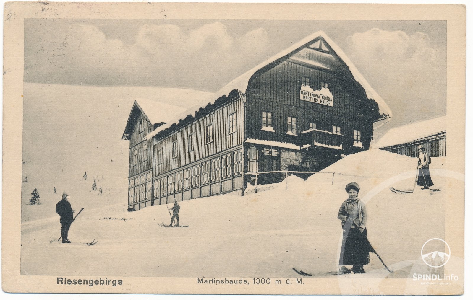
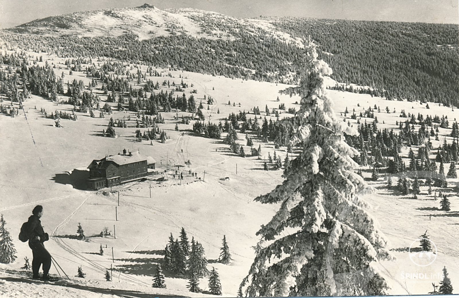
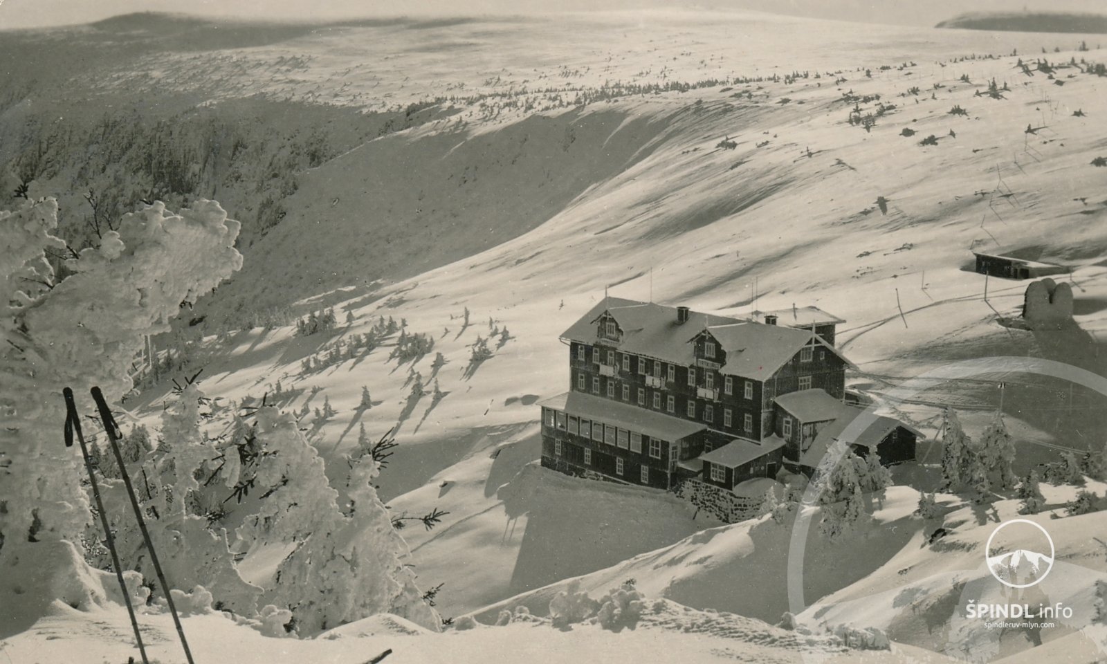
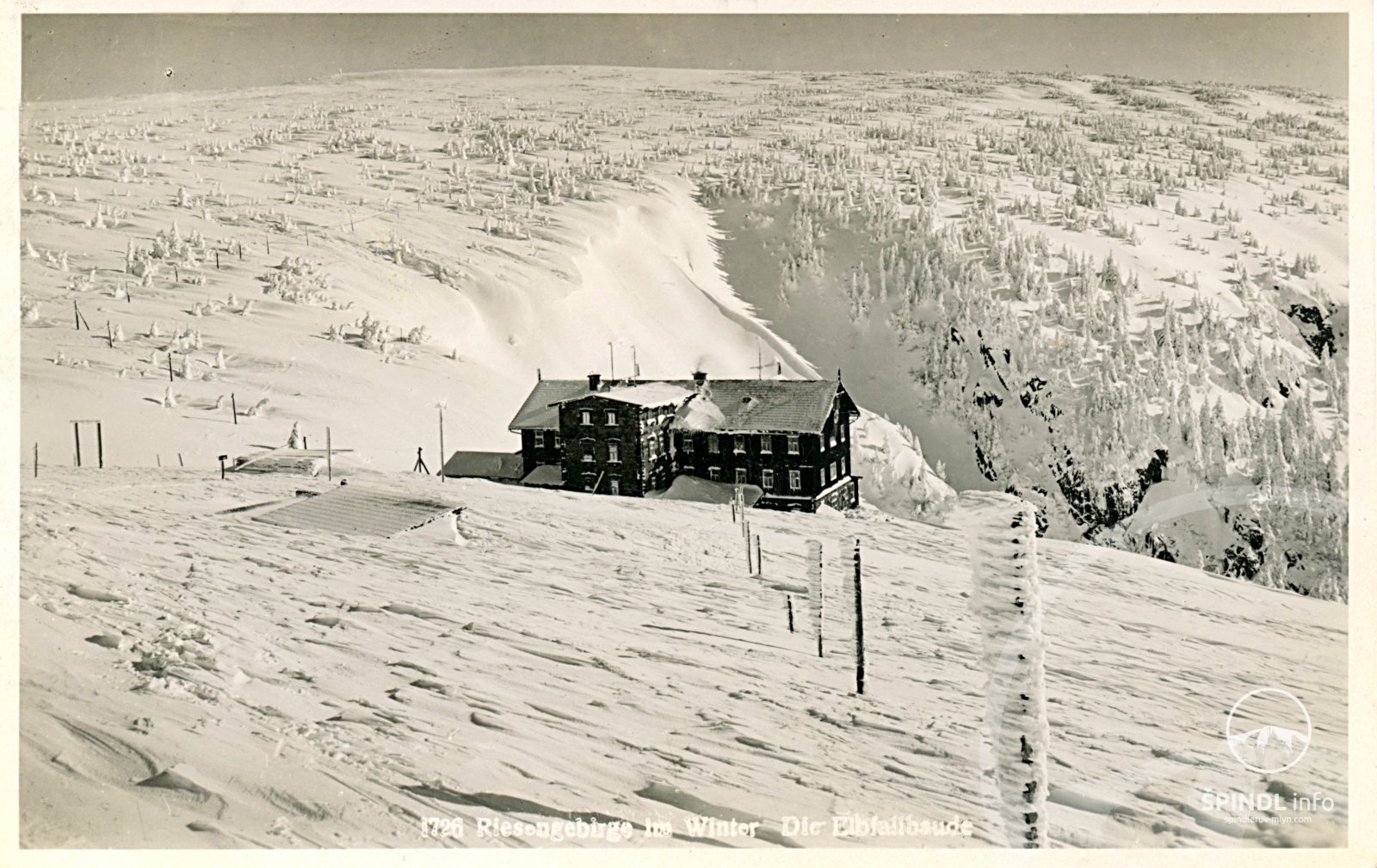
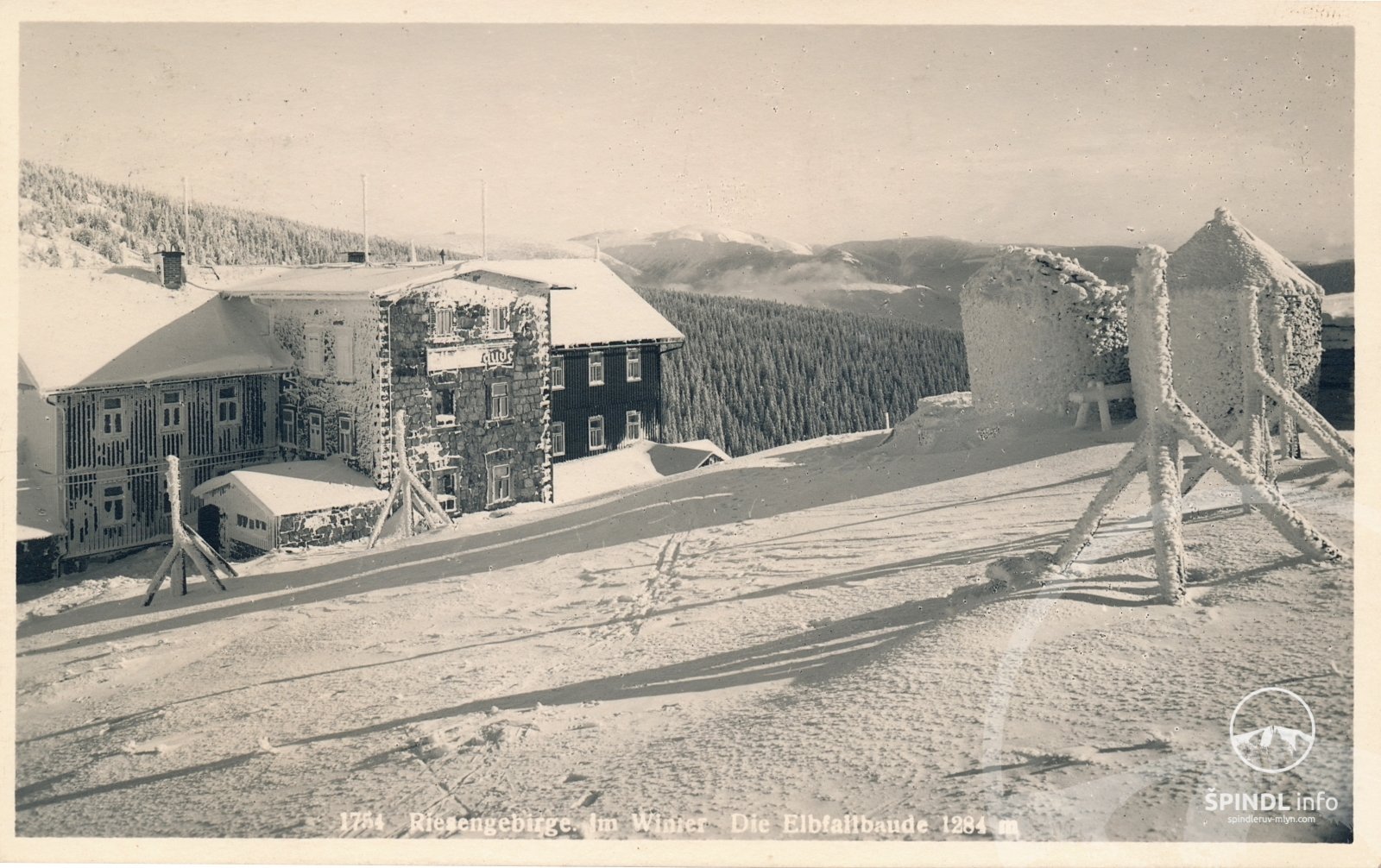
Špindl - Dívčí lávky - Medvědí bda - Martinova bouda - along  to Labská bouda - along
  to Labský důl - Labský důl down to Dvorský potok - around the log cabin along the footpath ascent to Patejdl's hut (narrow footpath - section intended more for ascent) - back to Špindl
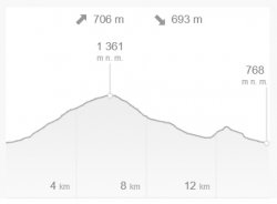
- Total length and duration: 15 km / approx. 4 - 5 h
- Elevation gain: ascent ↑ 706 m, descent ↓ 693 m
- Highest point: 1361 m above sea level.
- Difficulty: 3/5 medium
- Suitable for splitboard: YES
GPX, maps and descriptions to download:
GPS - gpx file download
Map - ski mountaineering route no.2
Description of the alpine route No. 2
On the KRNAP maps there is a circuit Medvědí bda - Patejdlovka
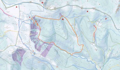
Map of the alpine route no.2
Dívčí Lávky - Martinovka - Labská bda - Labský důl - Patejdlovka - Dívčí lávky
Avalanche fields Labský důl - location description - HERE
Map - avalanche fields Labský důl and Martinovka - HERE
These tested and recommended ski alpine routes were created on the basis of the requirements of the Czech Association of Mountain Leaders (CAHV) of the Mountain Service and the considerations of the KRNAP Administration.
Many of the ski alpine trails listed below are not marked with poles or tourist signs in the terrain, and some sections are very difficult to navigate under certain climatic conditions.
In some places on the routes, in their vicinity and on selected sheds, there are boards with a map and a description of a specific route.
Some alpine trails lead through avalanche fields. Under no circumstances underestimate these games. Before the hike, find out the degree of avalanche danger in the given locality - avalanche danger here.
Before the tour, also find out the weather on the ridges of the Giant Mountains - online webcams from the ridges of the Giant Mountains available here.
Please follow the route, do not drive off the road and do not damage the surrounding nature!
Thank you!
- ALWAYS CAREFULLY PLAN THE TOUR ROUTE AND EQUIPMENT ON IT (DO NOT FORGET MEDICINES). PLACE THE TOUR ACCORDING TO THE PHYSICAL AND PSYCHICAL CONDITIONS OF THE WEAST IN THE GROUP.
- GET THE MOST INFORMATION ABOUT WEATHER FORECAST, SNOW AND Avalanche SITUATION IN ADVANCE.
- BEFORE GOING FOR THE TOUR, PROVIDE INFORMATION ABOUT THE ROUTE AND EXPECTED RETURN TIME. CHOOSE THE PACE ON THE TOUR ACCORDING TO THE WEAST OF THE GROUP.
- USE THE MAP CORRECTLY, KNOW THE TYPES OF MARKINGS TOURISM SPECIFIC TO INDIVIDUAL MOUNTAINS
- KNOW THE TYPES OF WARNING SIGNS AND THEIR MEANING.
- DO NOT MOVE OUTSIDE THE MARKED ROAD.
- HAVE A FIRST AID KITCHEN WITH YOU AND CAN BE FIRST AID IF NECESSARY.
- KNOW CONTACTS FOR MOUNTAIN SERVICE +420 1210 OR HEALTH EMERGENCY SERVICE 155.
- ALWAYS HAVE A FULLY CHARGED, MOBILE PHONE AND GPS POSITION SWITCHED ON.
- KNOW THE PRINCIPLES OF BEHAVIOR IN THE EVENT OF STUDGING, Avalanche FALL, OR CROSSING IN EXPOSED FIELD.
- NEVER UNDERSTAND THE GENTLE AND DO NOT EXPOSE YOUR RESPONSIBLE BEHAVE TO OTHER HAZARDS OR OTHERS.
- FOLLOW THE KRNAP VISITORS 'RULES!
Practical information for ski mountaineers:
A large part of the ski mountaineering routes in the Giant Mountains are not marked in the terrain with poles or tourist signs, and some sections are very difficult to navigate under certain climatic conditions.
The Krkonoše ski trails represent tourist circuits for ski mountaineers or cross-country skiers. These are routes that can be combined with other tourist marked routes and with other roads and non-forest areas in the 3rd and 2nd KRNAP zones.
These are not adventurous downhill rides or slalom among the trees, but routes where it is possible to learn to properly "tread" uphill, go down or just enjoy a nice trip. The origin of these routes is linked to the activities of mountain guides in the Krkonoše Mountains, and therefore they are mainly based on their needs. These circuits were created on the basis of the requirements of the Czech Association of Mountain Guides (CAHV) Mountain Services and the considerations of the KRNAP Administration.
Due to nature protection, skiers in the Krkonoše glaciers will remain inaccessible to skiers.
Important notes for ski mountaineers in Špindl and the Giant Mountains:
- a number of ski alps routes in the Krkonoše Mountains lead directly through the avalanche sections of avalanche tracks !!! Heed these warnings strongly!
- on the contrary, a number of routes also lead in the lower parts of the avalanche slopes, which are not immediately visible from your point of view !!!
- only some so-called regular avalanche tracks are drawn in tourist maps (in addition, their size or extent may vary depending on the current situation, eg due to the fall of forest stands, etc.)
- However, avalanche danger can also threaten in other places (ie outside the marked places on the maps), where the current conditions will be suitable for the formation of avalanches (steep sections, puffy snow, heavy glare, rain, etc.)
- pay attention to small landslides in terrain traps (stream banks, depressions, dimples…)
- Avalanches can occur under specific conditions even in the forest or between trees !!!
- in case of uncertainty, it is better to come back or call for help!
- it's better to call for help before it's too late! Mountain service tel. +420 1210.
If you have found a mistake or would like to supplement it with your review, idea or advice, please write to us - HERE.
We will be happy to pass on your knowledge to others ;-)
Thank you very much for your feedback. Create the website www.Spindleruv-Mlyn.com together with us!
© Martin Jandura - SPINDL.info
The website operator does not accept any responsibility for any errors, incompleteness, inaccuracy or outdated information provided on this website.