Špindlerův Mlýn is mainly about mountain tourism, but parents will also get their money's worth, taking a pram to Špindlerův Mlýn. Please accept our recommendation that a sports pram with suspension is more suitable for Špindl and trips around it.…
Špindlerův Mlýn is mainly about mountain tourism, but parents will also get their money's worth, taking a pram to Špindlerův Mlýn. Please accept our recommendation that a sports pram with suspension is more suitable for Špindl and trips around it. Some roads are rocky, but they are definitely passable with a sports pram. We believe that you and your children will enjoy a great holiday in Špindl!
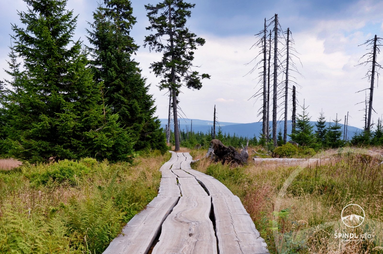
1.TIP - to LABSKÁ DAM - very pleasant and simple from Špindl to Labská dam. Minimal elevation gain - a comfortable walk. More info.
2.TIP - WHITE LABE WATERFALLS - you go for a walk with a pram on an asphalt road and a quiet way along the waterfalls of the White Elbe. More info.
3.TIP - MORAVSKÁ BOUDA - Sedmidolí - Davidovky - Girls' footbridges = beautiful mountain trip with a pram. More info.
4.TIP - TO THE SOURCE OF LABE - yes, you can take this trip with a pram! More info.
5.TIP - JOURNEY THROUGH LABSKÝ DOL - a pleasant and quiet walk through the valley of Labské dol. More info.
6.TIP - SVATÝ PETR CITY CIRCUIT - a quiet city circuit with a Svatý Petr pram - More here.
7.TIP - ŠPINDLMAN'S MISSION - a trip from Medvědín in the length of 9.5 km and about 4 hours More here.
8.TIP - ANIMAL RIDE - a tip for a trip from the Plain to Špindl in the length of 7.7 km and about 2-3 hours More here.
9.TIP - MLYNÁŘOVO KOLEČKO - an undemanding circuit along Špindl in the length of 3.2 km. More info.
10.TIP - MLYNÁŘŮV VÝŠLAP - an easy circuit around Špindl, you go around Bobovka and Monkeypark. More info.
Good to know:
Please pay attention to our Photo Gallery below in this section, where there are photos of the routes and navigability of the trip on some routes. This will make it easier for you to decide when planning a trip.
For trips to the Giant Mountains, you should rather take a sports pram with suspension.
The weather in the mountains can very often change during the day. Always be prepared for this and have good clothes.
Current preview of webcams from the ridges of the Giant Mountains is here.
Weather and meteoradar here
If rain catches you on the way, GoTAXI will take you to the hotel. Tel. +420 774 800 006
Consider renting a backpack in Špindl, you can go on mountain trips without limits.
1. TIP - with a pram at the LABSKÁ DAM
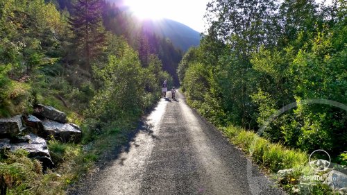
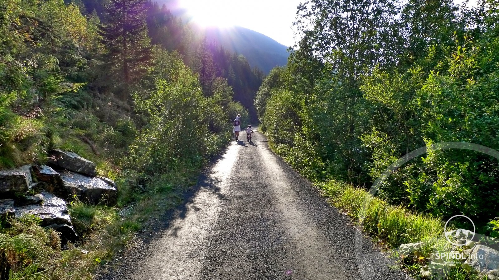
very pleasant and simple from Špindlerův Mlýn to the Elbe dam in the length of 2.5 km and duration of about 45 minutes - one way. Minimal elevation gain - a comfortable walk. This trip you go on a forest road without obstacles on the route. This route is one-way, ie. you go back the same way if you don't choose an alternative - here.
Our recommendation: Do not go this trip on the main road due to the high frequency of traffic and go on the second - quiet side of the dam according to our tip:
You can find a trip to the Elbe dam HERE.
Total length and duration: 2.5 km / 45 minutes - one way (center of Špindl - Fontana - Elbe dam)
Elevation gain: ascent ↑ 47 m, descent ↓ 59 m
Difficulty: 1/5 - very low
Passability: good - forest road
Refreshments on the way: NO
Route Elevation:
Click on the map to enlarge it Špindlerův Mlýn - Reservoir:
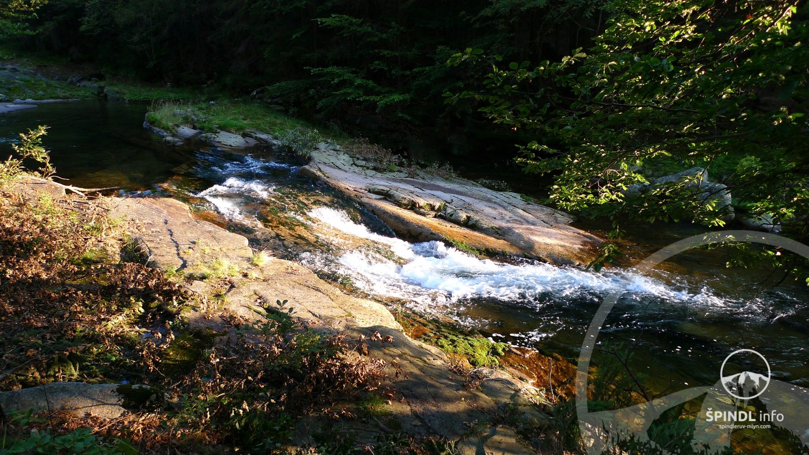
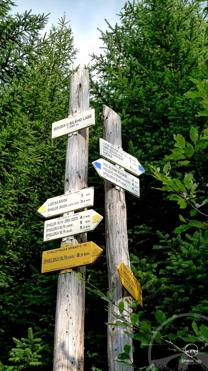
2.TIP with a stroller WATERFALLS OF THE WHITE LABE - the whole walk is taken along a quiet asphalt road (no cars allowed) along the waterfalls of the White Elbe. On the way you have a beautiful playground U Svozu - link. This route is one-way, ie. at the end of the route at point U points of the White Elbe you return with the same path.
More information and alternatives of the trip to the White Elbe Waterfalls can be found HERE.
Total length and duration: 5.6 km / 2 hours - one way (center of Špindl - Dívčí lávky - Bouda U Bílého Labe)
Elevation gain: ↑ 283 m, ↓ 283 m
Difficulty: 2/5 - low
Passability: good - asphalt road (no cars allowed)
Refreshments on the way: YES - Log cabin under Medvědín, Myslivna, Bouda Bílé Labe
Elevation of the Špindl - Bílé Labe route and back:
Route map Špindl - Bílé Labe - one way:
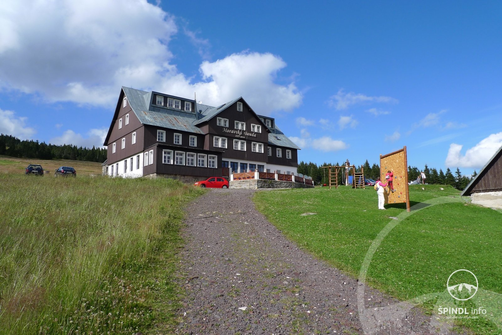
3. TIP - with pram MORAVSKÁ BOUDA
Moravská bouda - Sedmidolí - Davidovky Girls' footbridges = a beautiful mountain trip.
Let yourself be taken by car to Erlebachova bouda / Resort Sv. František, or use GoTaxi. Follow the asphalt road (blue tourist signs) in the direction of Petrova bouda - Moravská bouda (excellent cuisine and playground).
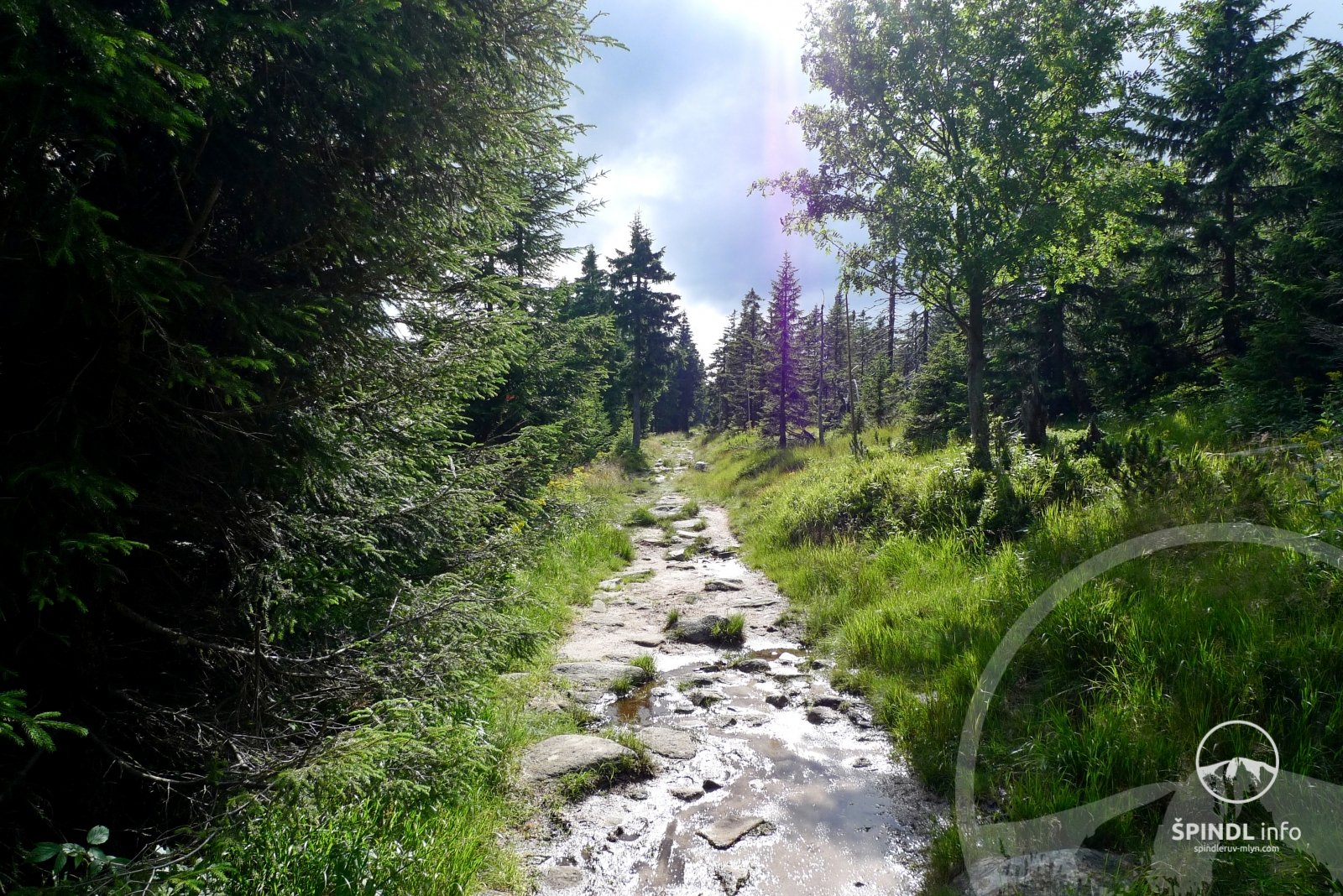
Here you have a choice: either you return to Špindl the same way or take our advice and drive from Moravská bouda downhill in the direction of Davidova bouda and further to Špindl. If you go down this route to Špindl, count on the fact that not far below Moravská bouda you will carry a pram on a section of about 90 m. Don't be afraid of it, because a pleasant walk down the hill along the asphalt / forest road to the bottom to Špindl awaits you in a total length of 8.3 km lasting about 3-4 hours.
More information on this trip is described in detail HERE.
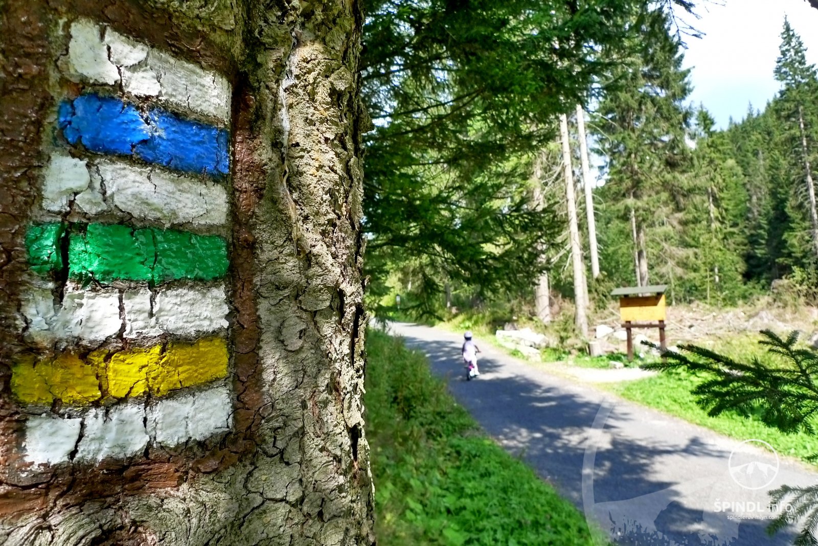
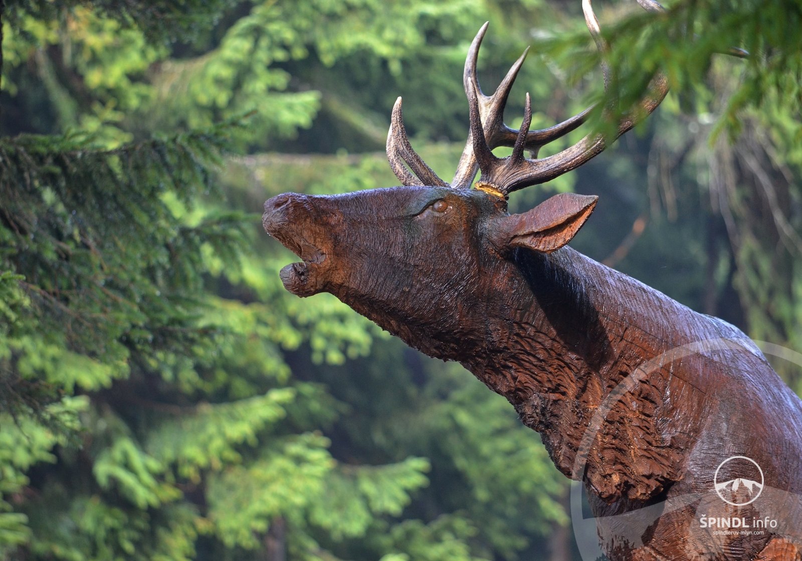
Our recommendation: at the crossroads Pod Petrovkou, follow the green tourist signs for about 1 km along the KRNAP nature trail - see this trip. Although you can take the pram to a few places (see photo here), the reward will be an educational trail with carved wooden animals for your children.
Total length and duration: 8.3 km / 3 - 4 h (Erlebachova bda - Moravská bda - Dívčí lávky - center)
Elevation gain: ascent ↑ 86 m, descent ↓ 514 m
Difficulty: 2/5 - low
Passability: good - asphalt and forest road (no cars allowed on most of the route)
Refreshments on the way: YES (Erlebachova Bouda, Moravská Bouda, Dvořákova bda, Sedmidolí, Srub pod Medvědínem)
Elevation of the route Erlebachova bouda - Moravská bouda - Sedmidolí - Špindl
Click on the route map to enlarge:
4. TIP - with a pram to the SPRING OF THE LABE
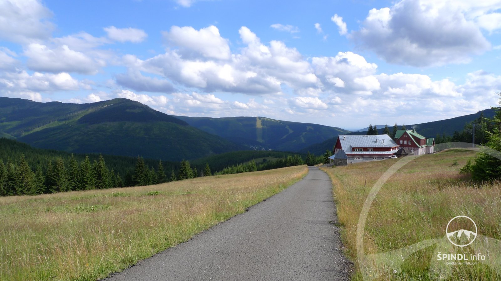
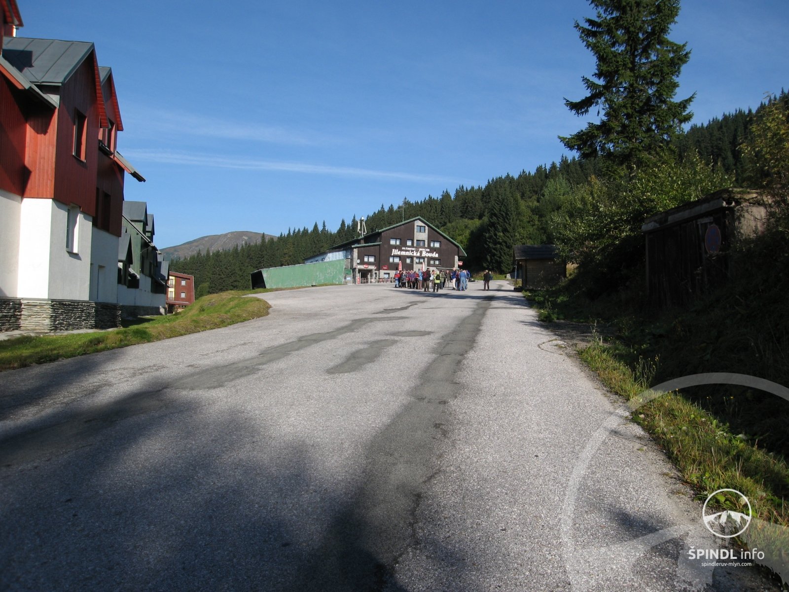
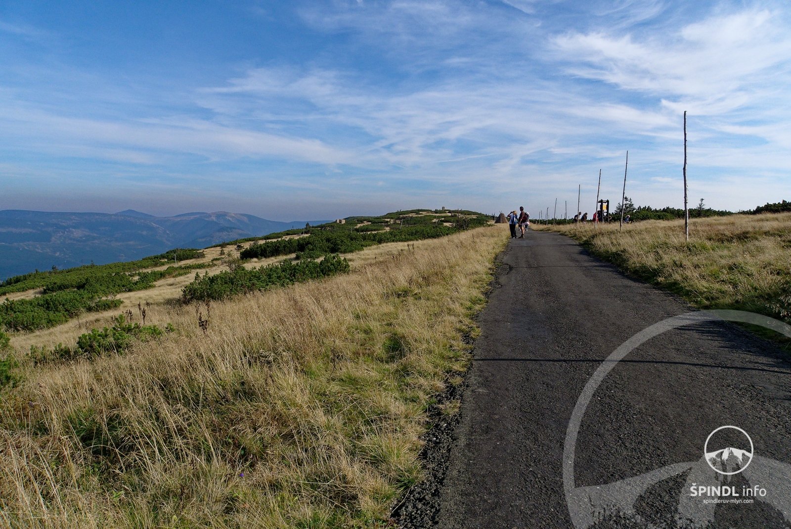
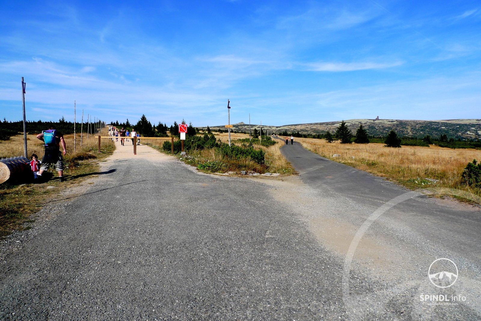
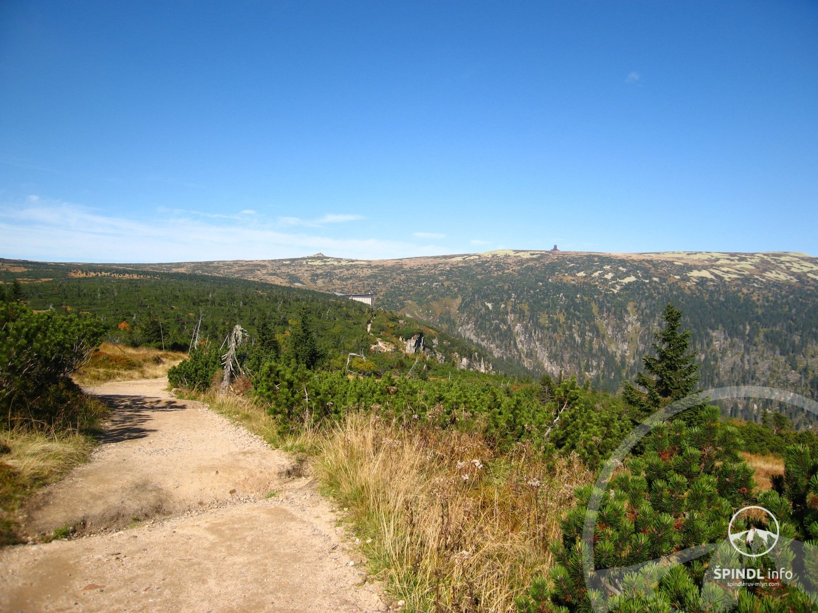
yes, you can also take this trip with a pram! You will take the cable car to Medvědín, where they will take your pram up for free (price list and operating hours of the Medvědín cable car here). Follow the asphalt road in the direction of Horní Mísečky - Jilemnická bda. From Jilemnická bouda there is a bus to Zlaté vrchší - timetable here. From Vrbatova bouda you continue along the blue markings - asphalt road (not along the red one) in the direction of Labská bouda. You pass the U Čtyř pánů signpost. From the U Čtyř pánů signpost, continue straight on to the Elbe Spring - see the photo gallery below.
Alternative: If necessary, you can take the blue road to the Elbe hut and from the Elbe hut continue to the source of the Elbe.
Duration and time of the route: Horní nádraží Medvědína → bus stop Jilemnická bouda - Horní Mísečky = 1.8 km / 30 minutes - route map here. Vrbatova bouda → U Čtyř pánů → Spring Elbe = 3.1 km / 1h - route map here. To these times, add the cable car, bus and possible waiting with regard to timetables = about 1 hour.
ATTENTION - with regard to trip alternatives, all times and distances are given only for the journey to the source of the Elbe! Calculate the way back to these times!
On the way back, do not take a bus, but walk from Vrbatova bouda to Medvědín - map here. If you used the bus, you would have to get off from Mísečky back to Medvědín. Challenging and unnecessary.
Expect the trip to take you all day. By this we mean a relaxing trip. It also depends a lot on which alternative trip you choose.
A detailed description of the walking route to the Elbe Spring can be found here. However, the description refers to a walking tour, not a trip with a pram.
Therefore, follow the above instructions and tips for a trip with a stroller.
Our recommendation:
From Medvědín you can go directly to Vrbatova bouda along Masaryk Road, where only a bus runs, but you have to overcome an elevation gain of 358 m in the length of 4 km and a duration of about 2 hours - map here.
If you go from Vrbatova bouda to the red one, you will see Pančavský waterfall and Ambrožova vyhlídka, but in several places you will carry a pram, it is a mountain trail - see our photo gallery.
Before the trip, see how it is on the ridges of the Giant Mountains - webcams HERE and HERE
When you return, check when the last bus and especially the cable car are running - back to Špindl.
Total length and duration: 9.8 km / 4 - 5 h (Medvědín - Jilemnická bda - bus - Vrbatova bda - Source of the Elbe and back)
Elevation gain: ascent ↑ 310 m, descent ↓ 157 m
Difficulty: 3/5 - medium
Passability: good - asphalt and mountain road (no cars allowed)
Barrier-free route: YES
Refreshments on the way: YES (Restaurant Medvědín, Jilemnická bda, Vrbatova bda, or Labská Bda)
Cant Medvědín - Vrbatova bda - Source of the Elbe - Medvědín:
Map of the route with a pram Medvědín - Vrbatova bda - Pramen Labe. (One way - without using a bus)
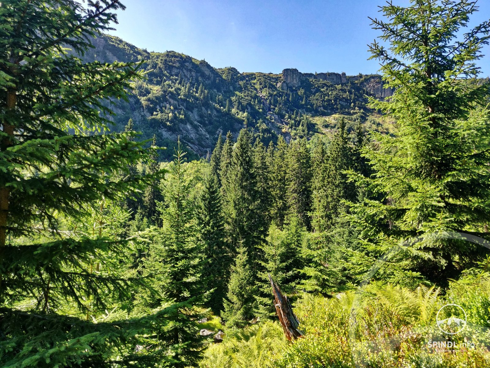
5. TIP - with a pram THE JOURNEY OF THE LABSKÝ MINE
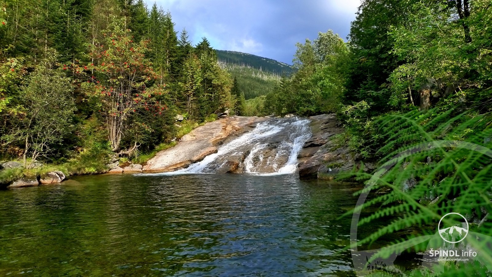
pleasant and quiet walk through the valley of the Elbe mine. All the way you walk along the Elbe on an asphalt road. This route is one-way, ie. at the end of the route at the point - Labský důl - Pudlava - you return the same way. One trip lasts 1:45 h and is 5.4 km long - measured from the center of Špindl. The trip will give you about 4 hours of pleasant walks.
Our recommendation: if you go for about 900 m along the trail in the direction of Labská bouda, you will see the Pančava waterfall in all its beauty from below. Beautiful view!
Total length and duration: 5.4 km / approx. 2 h one way. (center - Girls' footbridges - Labský důl - Pudlava)
Elevation gain: ascent ↑ 180 m, descent ↓ 180 m
Difficulty: 2/5 - low
Passability: good - asphalt and mountain road (no cars allowed)
Barrier-free route: YES
Refreshments on the way: YES (Myslivna, Srub pod Medvědínem)
Elevation of the route Špindl - Labský důl - Pudlava:
Click on the map to enlarge it with a pram - Špindl - Labský důl - Pudlava:
6. TIP SVATÝ PETR City CIRCUIT
from the center you drive in the direction of Svatý Petr. At the Czech pub, cross the small bridge and immediately to the left behind the bridge so that you do not follow the road. Continue in the direction of the Sv. Petr, you walk through the ski resort around the Lenka hotel and set off along the Svatopeterský brook. You come across the footbridge to the Martin & Kristýna Resort, where we recommend a small stop. You will be pleasantly surprised by the excellent cuisine and you have to taste homemade blueberry dumplings here! The resort has a beautiful children’s playground with a trampoline, swings and a children’s playground. After relaxation, continue in the direction of Svatý Petr under the Stoh ski slope. At the roundabout, turn left uphill. On the left you can see the Olympie Hotel, where you can indulge in another stop, or continue uphill. At the junction (x) you have on the left side Apartments Zvon. You cross a straight junction and continue uphill. At the forest you will have a beautiful view of St. Peter. Now continue along the path down the hill, which is reserved for pedestrians only to the center of Špindlerův Mlýn.
Total length and duration: 5.1 km / approx. 1 h (center - Resort Martin & Kristyna - Svatý Petr - center)
Elevation gain: ascent ↑ 157 m, descent ↓ 158 m
Difficulty: 2/5 - low
Passability: good - asphalt road, quiet city road
Barrier-free route: YES
Refreshments on the way: YES (Resort Martin & Kristyna, hotel Olympia, hotel Sněžka)
Elevation of the route Špindl - center - Resort Martin & Kristyna - Svatý Petr - Špindl
Click on the map to enlarge it with the pram Svatý Petr
7. TIP - ŠPINDLMAN'S MISSION
Be a superhero and complete tasks and complete the mission! The Špindlman family of comics experiences various adventures and troubles during trips to the mountains.
An exciting journey full of puzzles and tasks starts at the top of Medvědín, where there is also a large Lettering playground.
A detailed description of Špindlman's mission can be found here.
Total length and duration: 9.5 km / 3 - 4 h (Medvědín - Jilemnická bda - Horní Mísečky - K12 - Water supply road -)
Elevation gain: ascent ↑ 85 m, descent ↓ 575 m
Difficulty: 3/5 - medium
Passability: good - asphalt and mountain road (no cars allowed)
Barrier-free route: YES
Refreshments on the way: YES (Restaurant Medvědín, Jilemnická bda, Restaurant pod Medvědínem)
Weather - here
Webcam Medvědín - here
Operation of the Medvědín cable car and price list - here
Elevation of the route Medvědín - Horní Mísečky - K12 - lower station Medvědín
Click on the route map to enlarge:
8. TIP RIDE FOR ANIMALS
A brand new nature trail and cycle path in St. Peter will take you into the world of the inhabitants of the Krkonoše forests. At each of the seven stops, you will learn more about the life of one of the animals, which you can meet on a walk through the Krkonoše nature with a little luck.
The route is suitable for bicycles, scooters and prams and most of the trail leads downhill.
You can find a detailed description of the entire RIDE FOR ANIMALS route here.
Total length and duration: 7.7 km / 3 - 4 hours on foot (Upper station of the Na Pláni cable car - crossroads Nad Věřinou road - Hromovka - lower station of the cable car)
Elevation gain: ascent ↑ 20 m, descent ↓ 480 m
Difficulty: 2/5 low - most of the route leads downhill, suitable for children
Webcam: Na Pláni - HERE
Refreshments on the route: Restaurant Stadion Sv. Petr, Hotel Hromovka, Horalka
Hiking with children: YES
Baby carriage: YES - we recommend a sports pram
Wheel: YES
Scooter: YES
Operation of the Na Pláň cable car and price list - here
Route Elevation:
Click on the route map to enlarge:
9. TIP MLYNÁŘOVO KOLEČKA
The length of the circuit is 3.2 km and it takes about 60 minutes with a pram. Mlynář's wheel is thematically focused on the fauna and flora of the local Giant Mountains region. The route starts in the city park near Mlynář in front of the Savoy Hotel and you can manage it with a pram.
Mlynář's wheel - a detailed description of the route can be found HERE
Total length and duration: 3.2 km / approx. 60 minutes
Elevation gain: ascent ↑ 113 m, descent ↓ 113 m
Difficulty: 1/5 - low
Barrier-free route: NO
Passable with pram: YES
Suitable for children: YES
Route Elevation:
Click on the route map to enlarge:
10.TLY OF MLYNÁŘ'S TREAD
The length of the circuit is 3.1 km and it takes about one hour with a pram. Mlynář's hike is thematically focused on the geological development of the Krkonoše region. The beautiful environment of the trip is a matter of course. The route starts at Mlynář - in front of the Savoy Hotel.
Mlynářův výšlap - detailed description of the route can be found HERE
Total length and duration: 3.1 km / approx. 60 minutes
Elevation gain: ascent ↑ 50 m, descent ↓ 50 m
Difficulty: 1/5 - low
Barrier-free route: NO
Passable with pram: YES
Suitable for children: YES
Route Elevation:
Click on the route map to enlarge:
If you found a mistake in the article or would like to supplement it with your review, idea or advice, please write to us - HERE.
We will be happy to pass on your knowledge to others ;-)
Thank you very much for your feedback. Create the website www.Spindleruv-Mlyn.com together with us!
SPINDL.info