


OUR TIPS
in Špindlerův Mlýn
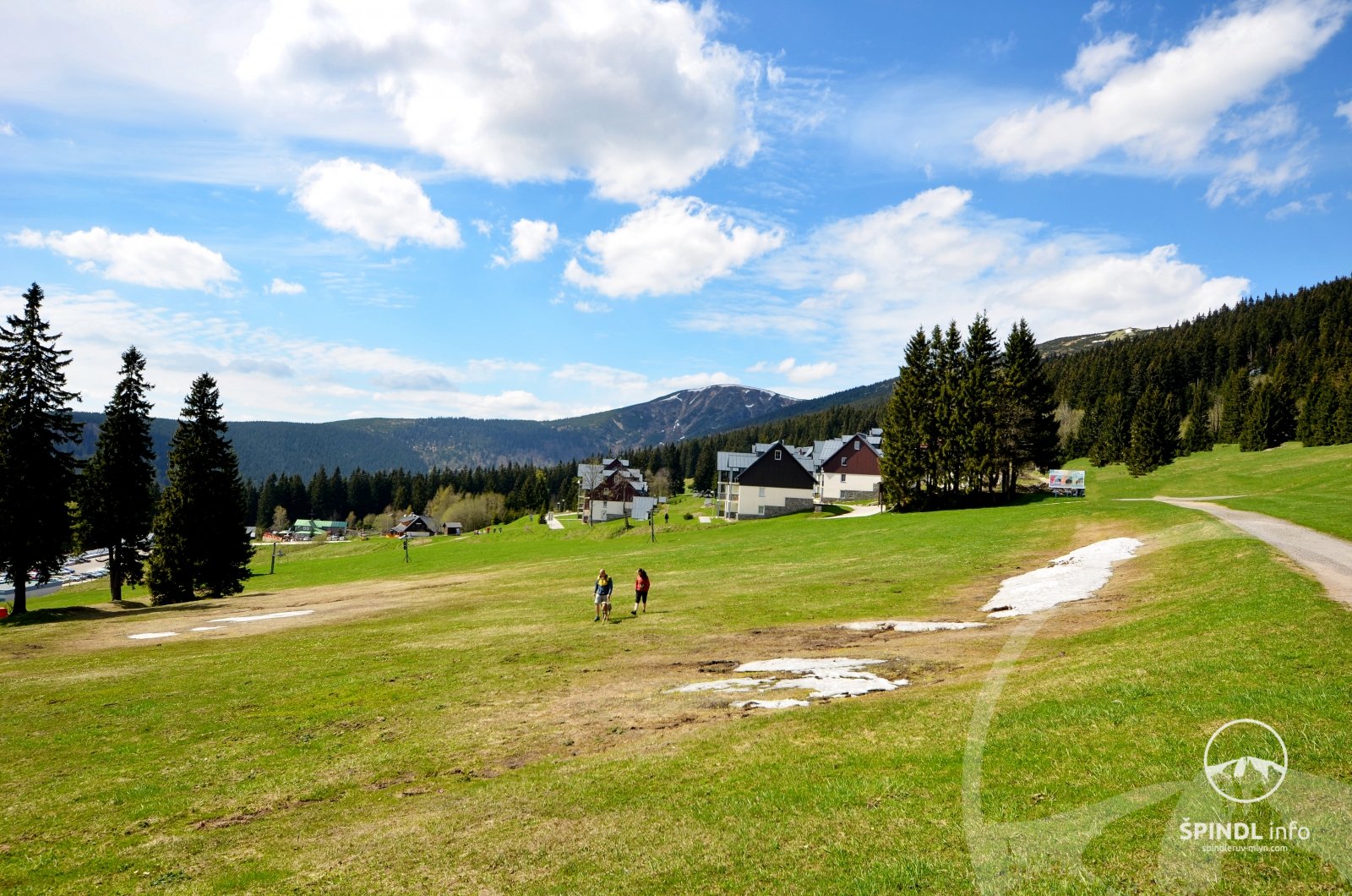
We have interesting tips for you from Špindlerův Mlýn and its surroundings. Whether it is accommodation, activity or a good restaurant. We live in Špindl, it is our home, so we recommend what we have tried ourselves and we like.
We wish you to enjoy your stay in Spindleruv Mlyn according to your ideas.
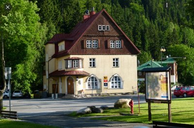
Information center -ŠPINDL.info
Center
- Information center right in the center of Špindlerův Mlýn.
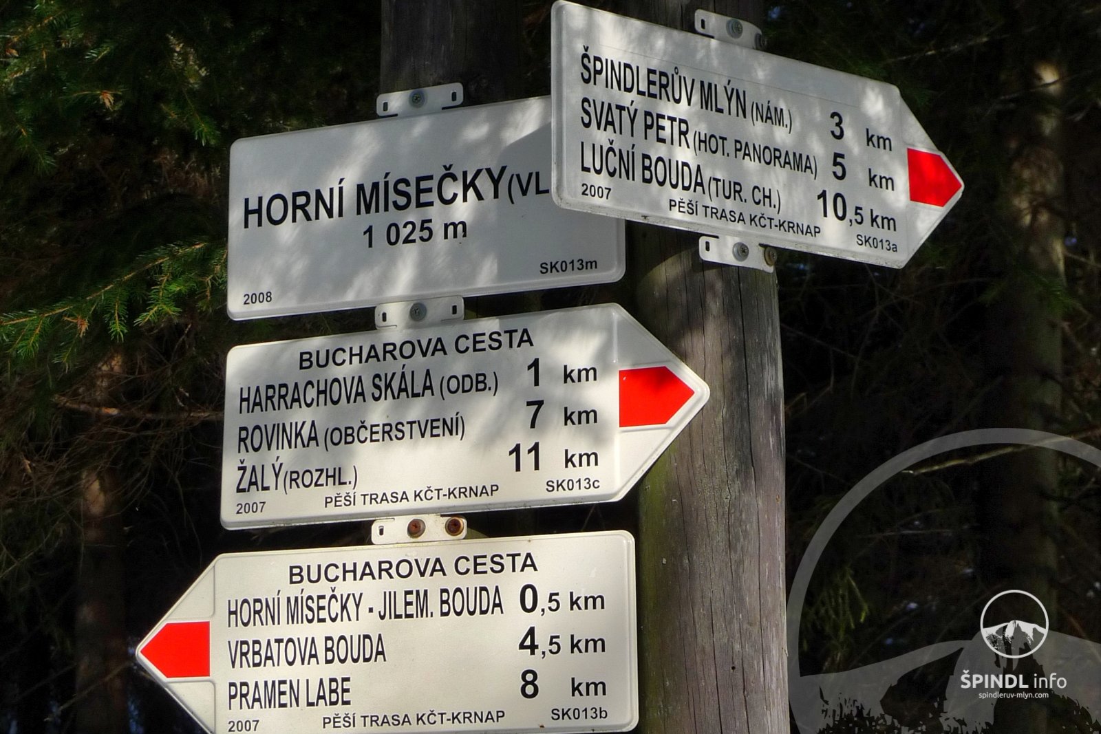
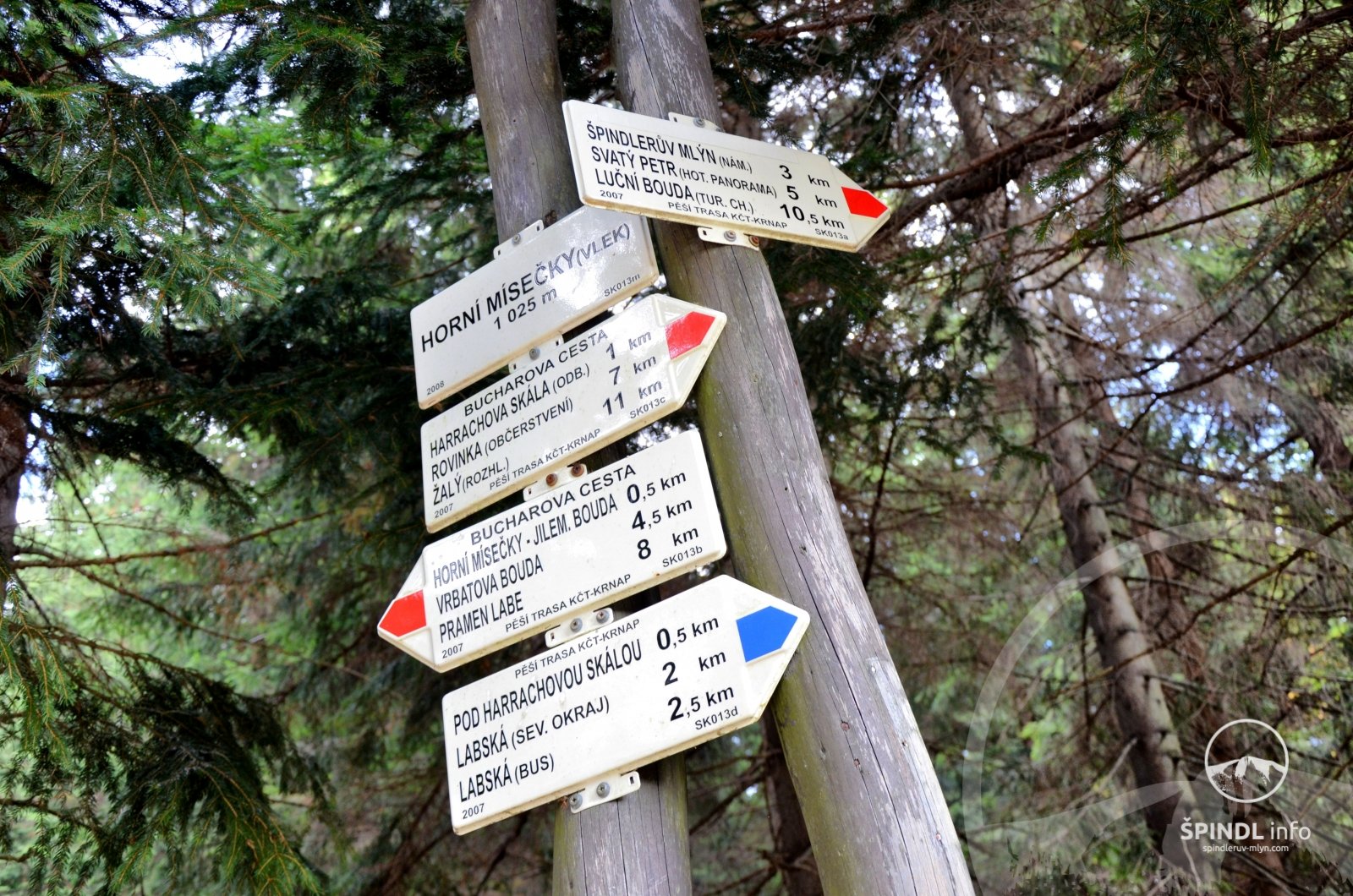
- An inexhaustible number of tourist maps of Špindlerův Mlýn, the Giant Mountains and its surroundings.
- Large selection of souvenirs with a theme of the Giant Mountains.
Show more
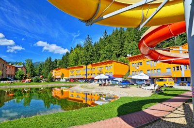
Hotel Aquapark Špindlerův Mlýn
Circular
- You live right next to the Medvědín cable car and ski slopes.
- Aquapark full of fun and great wellness just a few steps away.
- Fantastic starting point - for skiing and hiking.
100 €
76
€
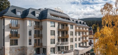
Palace Apartments Hotel
Center
- Ideal for families with children - fully equipped apartment-type rooms
- Unique location - close to the center and beautiful views
- Extensive wellness, stylish restaurant and covered garage parking
240 €
180
€
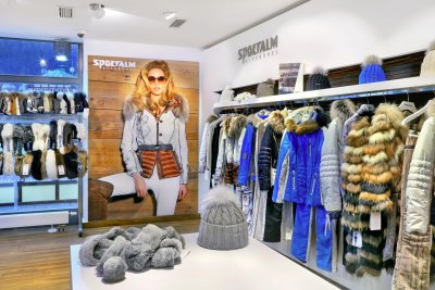
SPORTALM STORE - Špindlerův Mlýn
Center
- Do you follow current fashion trends? Visit the SPORTALM STORE store
- Do you love clothing brands Sportalm, Goldbergh, Bogner and more? We have inspiration for you!
Show more
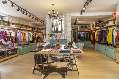
Summit sport
Center
- Very pleasant environment - design boutique
- Large selection of top brands of sportswear
- Designer footwear
Show more
