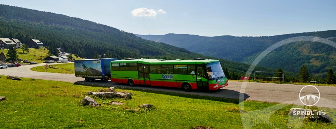
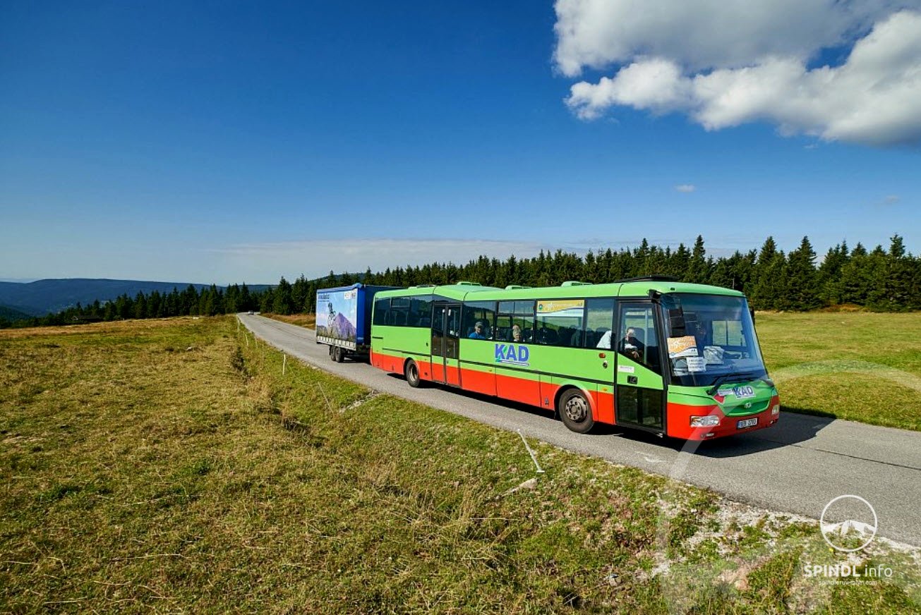
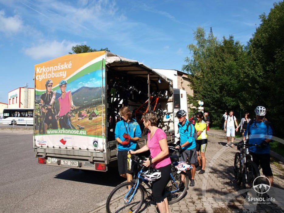
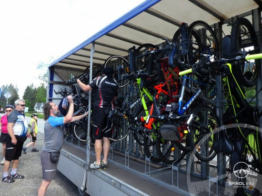
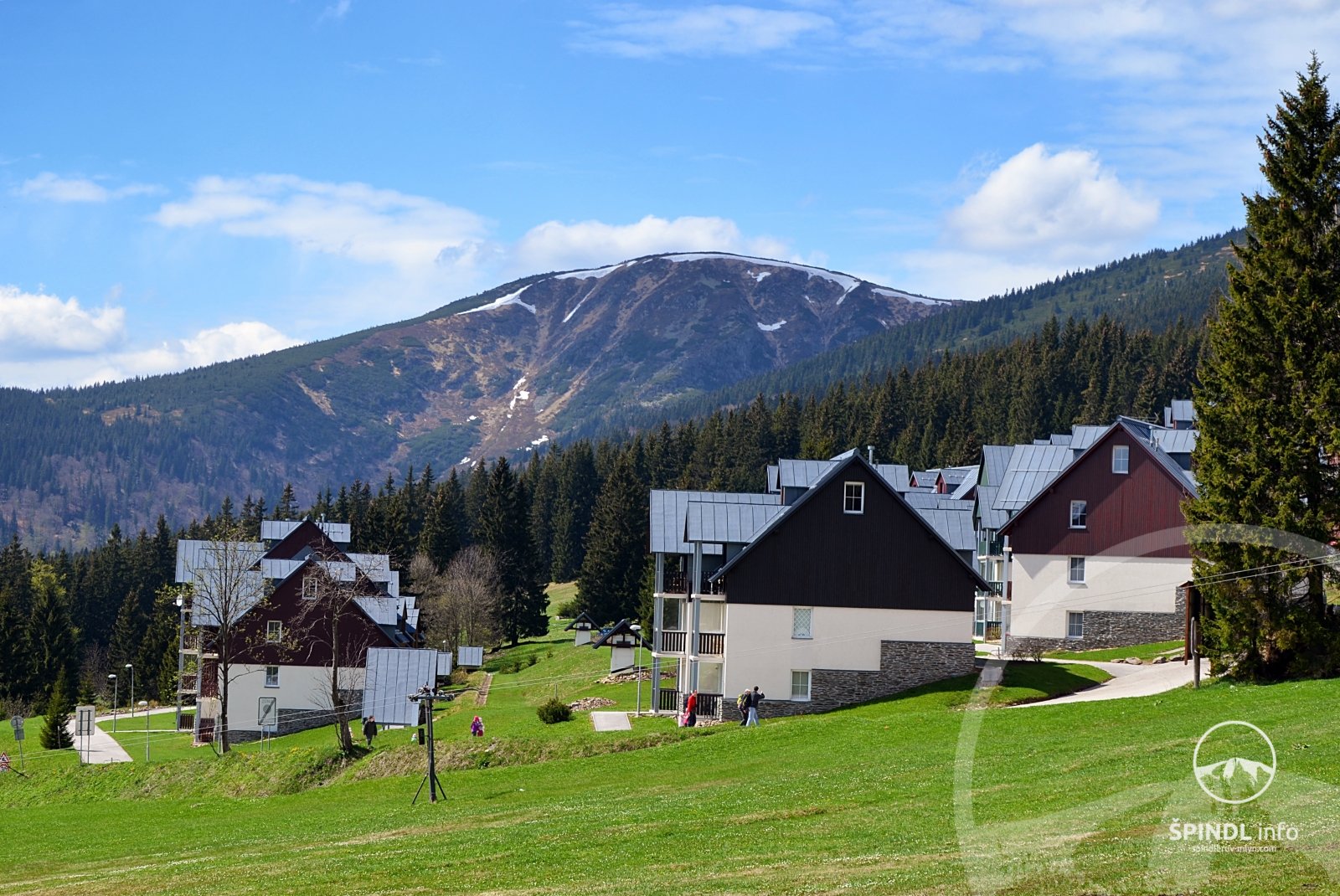
If you are staying in Špindl or Vrchlabí - which is an ideal location for this bike trip, we recommend that you divide the trip into two days: DAY FIRST in the morning you take a cycle bus from Špindl to Harrachov - timetable of cycle buses HERE.…
If you are staying in Špindl or Vrchlabí - which is an ideal location for this bike trip, we recommend that you divide the trip into two days:
DAY FIRST
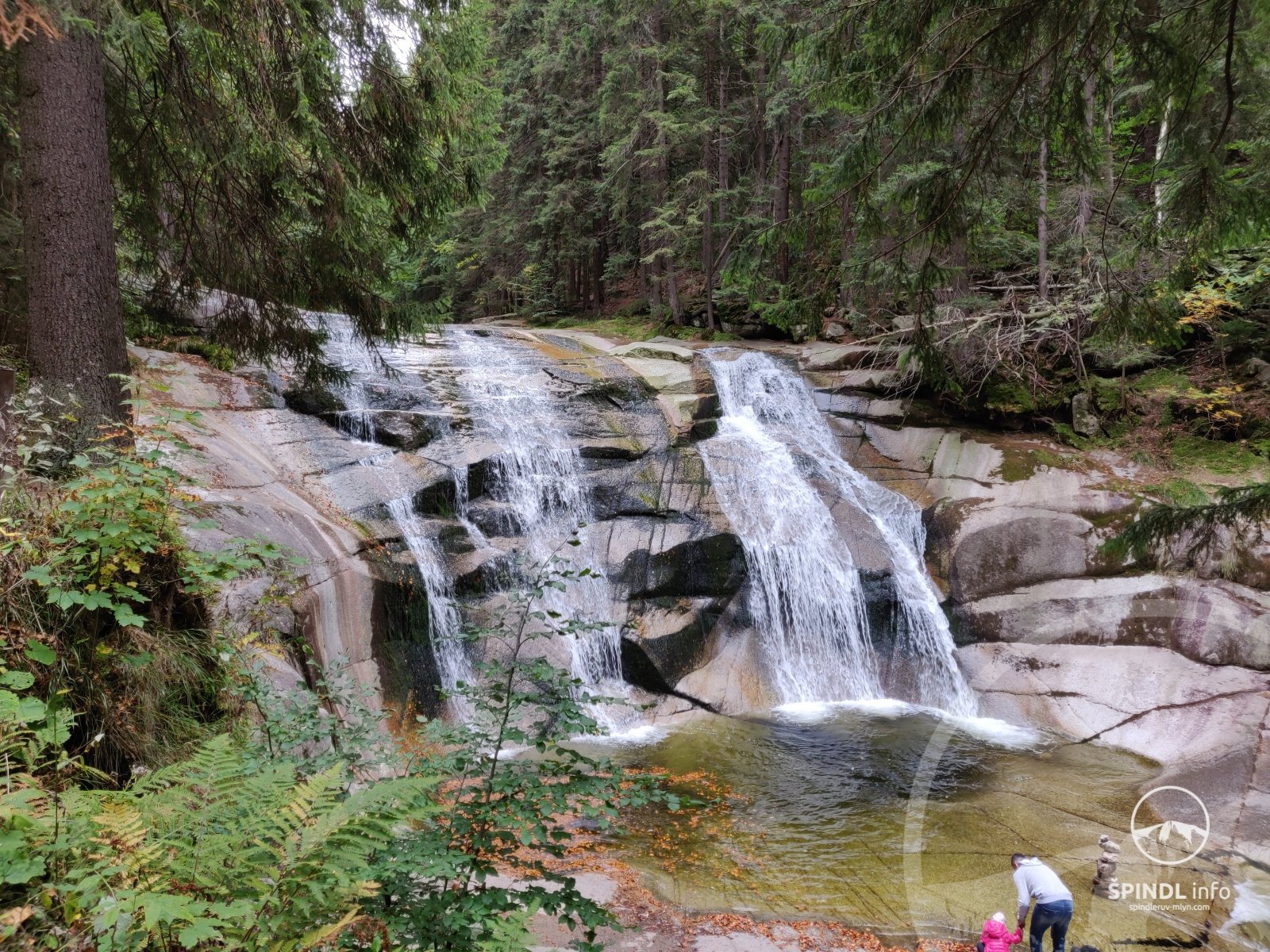
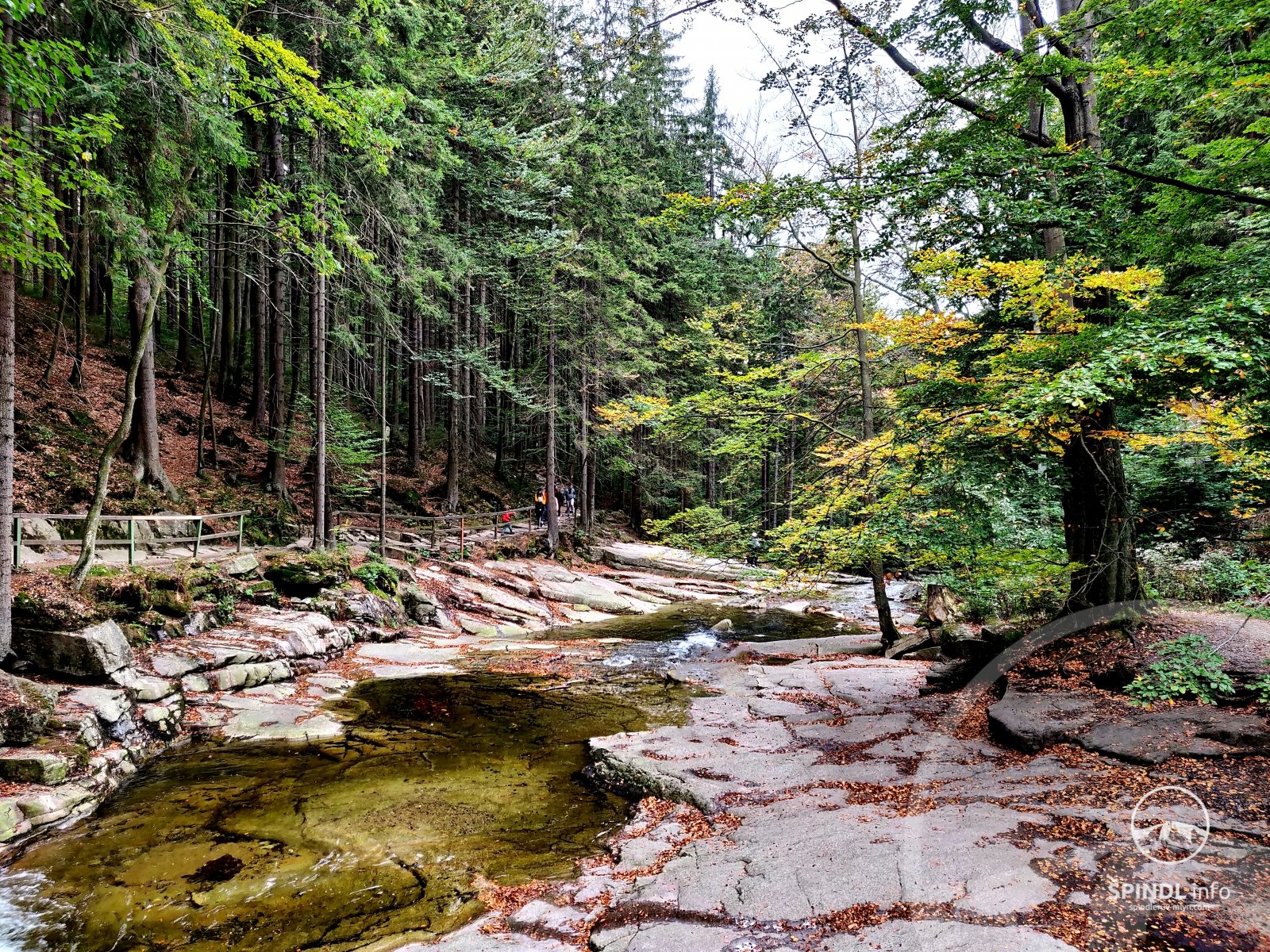
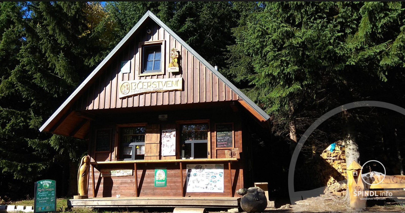
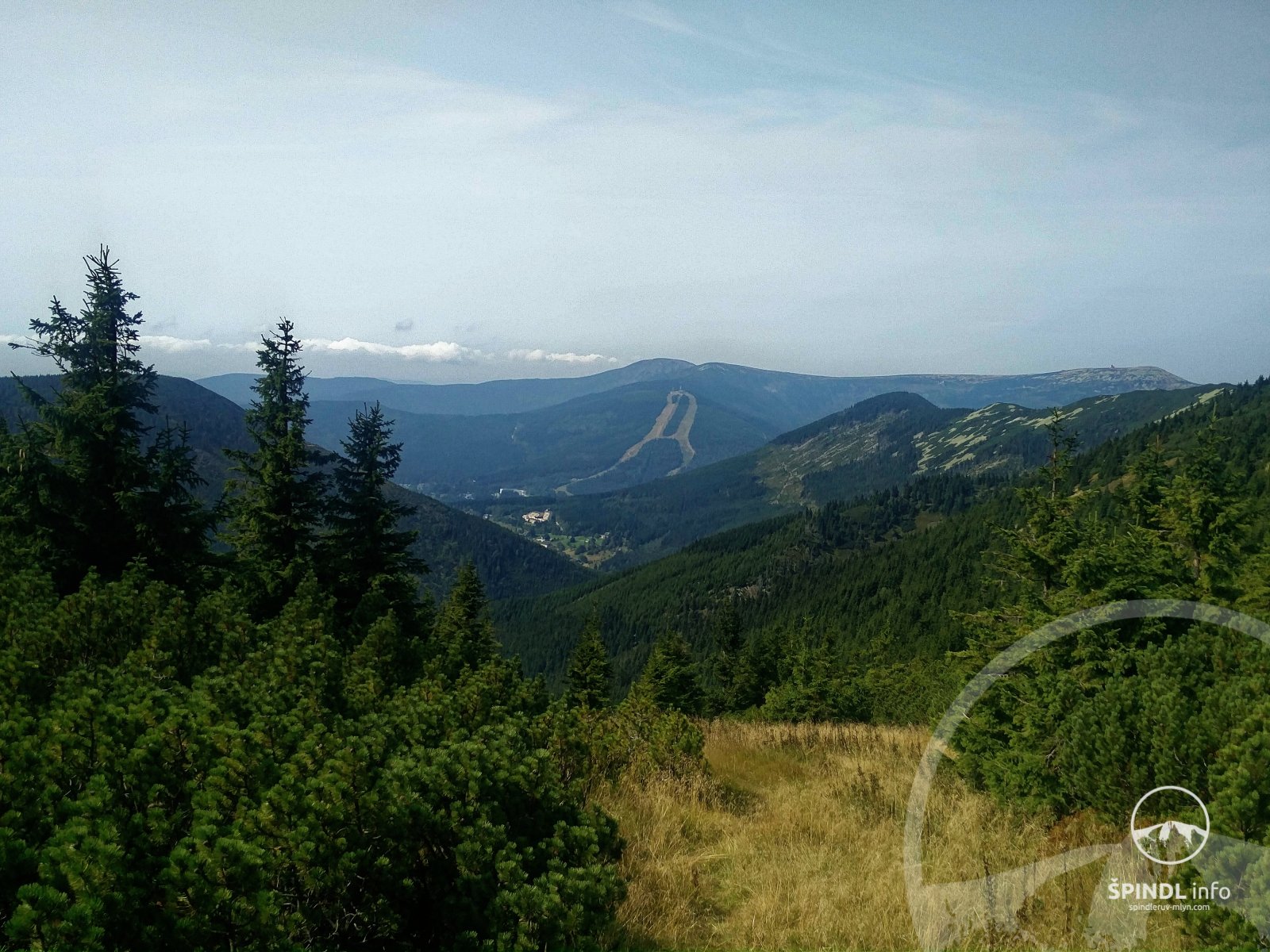
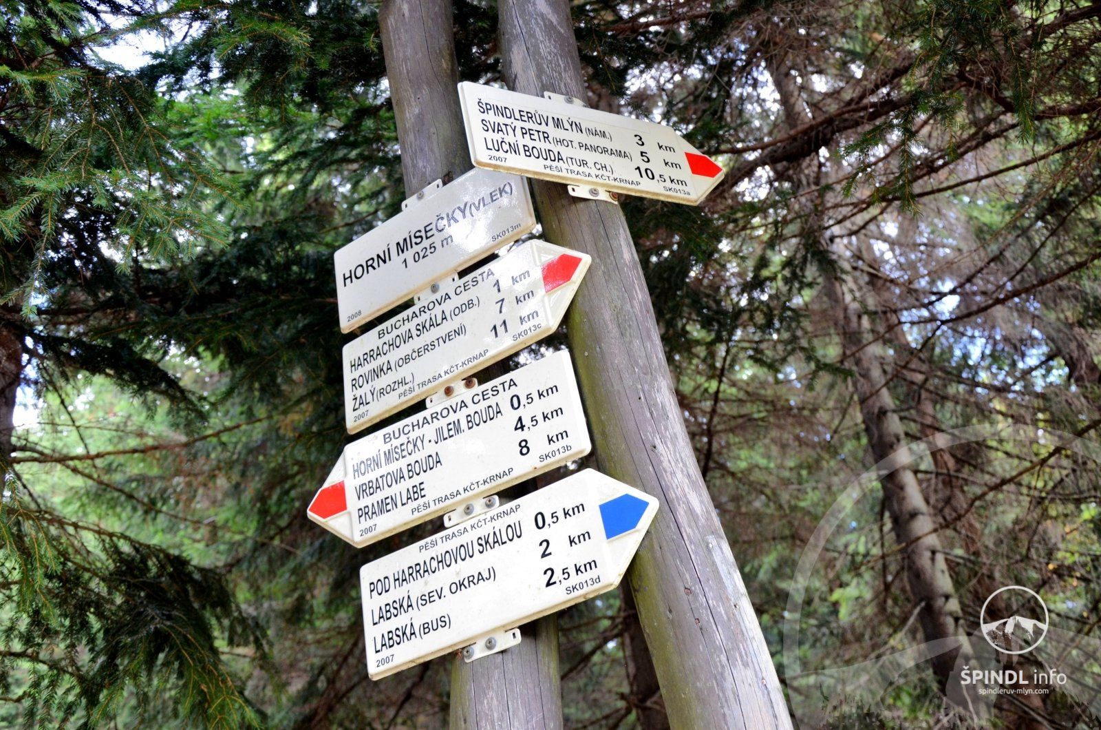
in the morning you take a cycle bus from Špindl to Harrachov - timetable of cycle buses HERE. You leave the bike from Harrachov and drive around the Mumlavský waterfall, climb at Krakonoš's breakfast - green K2B, then on the red K1A, Kiosk Ručičky, continue on the red K1A in the direction of Dvoračky and Sedlo pod Dvoračkami, where you turn . You ascend to Horní Mísečky and descend back to Špindl.
The total length of this bike path is 29 km.
Good to know: check the operation of the cycle buses in advance - here. Cyclobuses do not run regularly throughout the summer season.
Brief description of the cycling route: Harrachov → Mumlavský vodopád → Krakonošova breakfast → Kiosk Ručičky → Dvoračky → Sedlo pod Dvoračkami → Dolní Mísečky → Horní Mísečky → Špindl.
Total length and duration of the cycle route: 29 km / approx. 3 - 5 h by bike + 3 h cycle bus Špindl - Harrachov
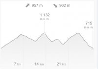
Elevation gain: ascent ↑ 957 m, descent ↓ 962 m
Difficulty: 4/5 higher
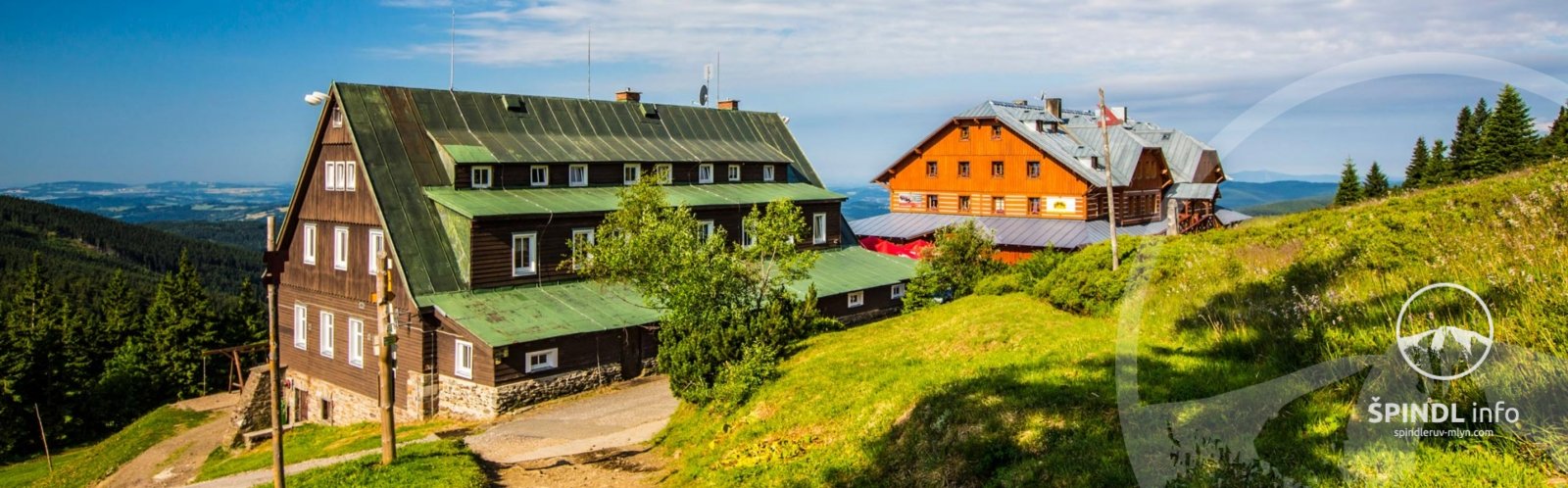
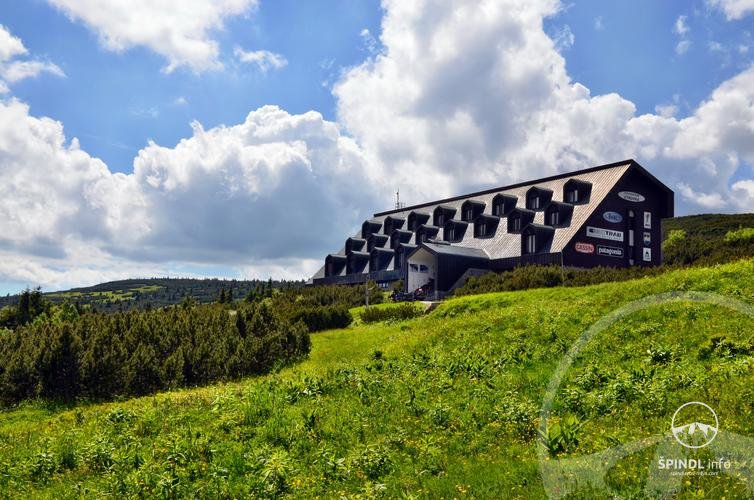
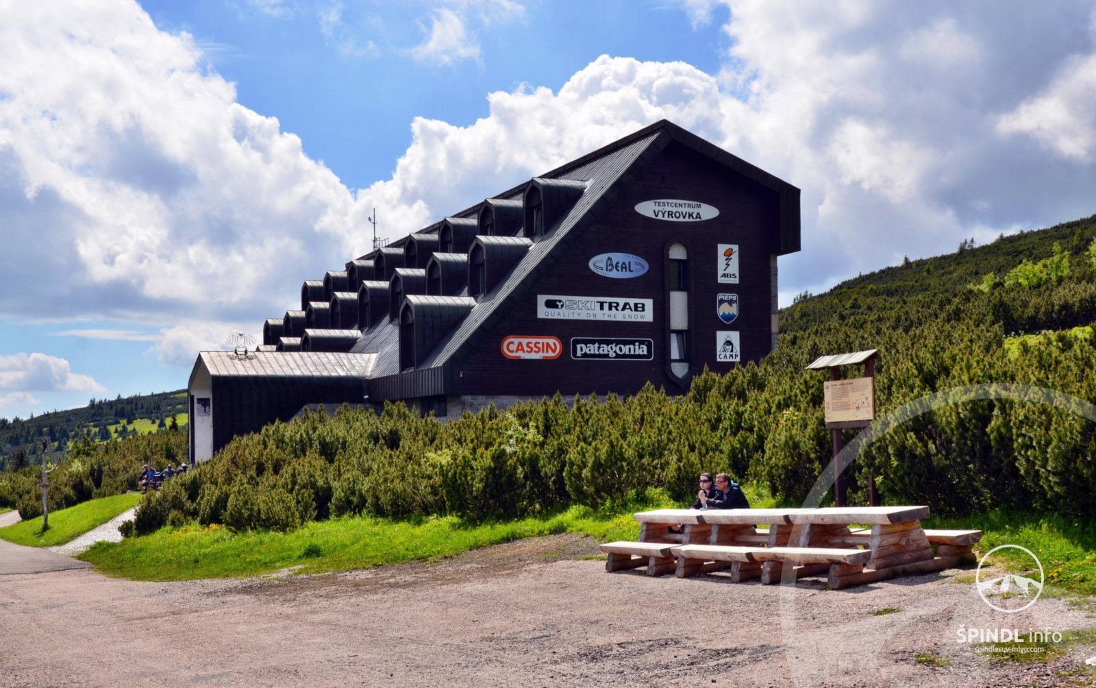
Refreshments on the bike path: YES - Harrachov, Kiosk Ručičky, Dvoračky, Stopa Horní Mísečky
Cycling tour with children: YES - but it is a challenging trip with a large elevation gain.
GoTAXI - phone +420 774 800 006
Preview and cycle map of the cycle route Harrachov - Dvoračky - Mísečky - Špind
Altitude profile of the cycling route
Harrachov Mumlavský waterfall - Krakonoš breakfast - Dvoračky - Mísečky - Špindl
DAY TWO
Horní Malá Úpa / Pomezní boudy - Špindlerův Mlýn
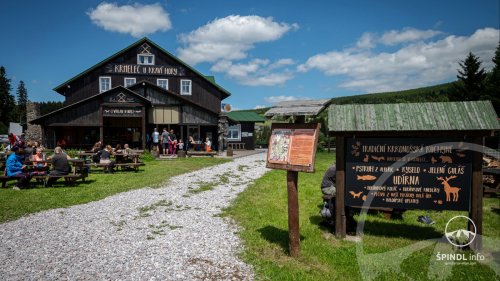
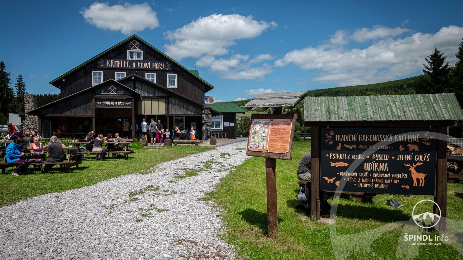
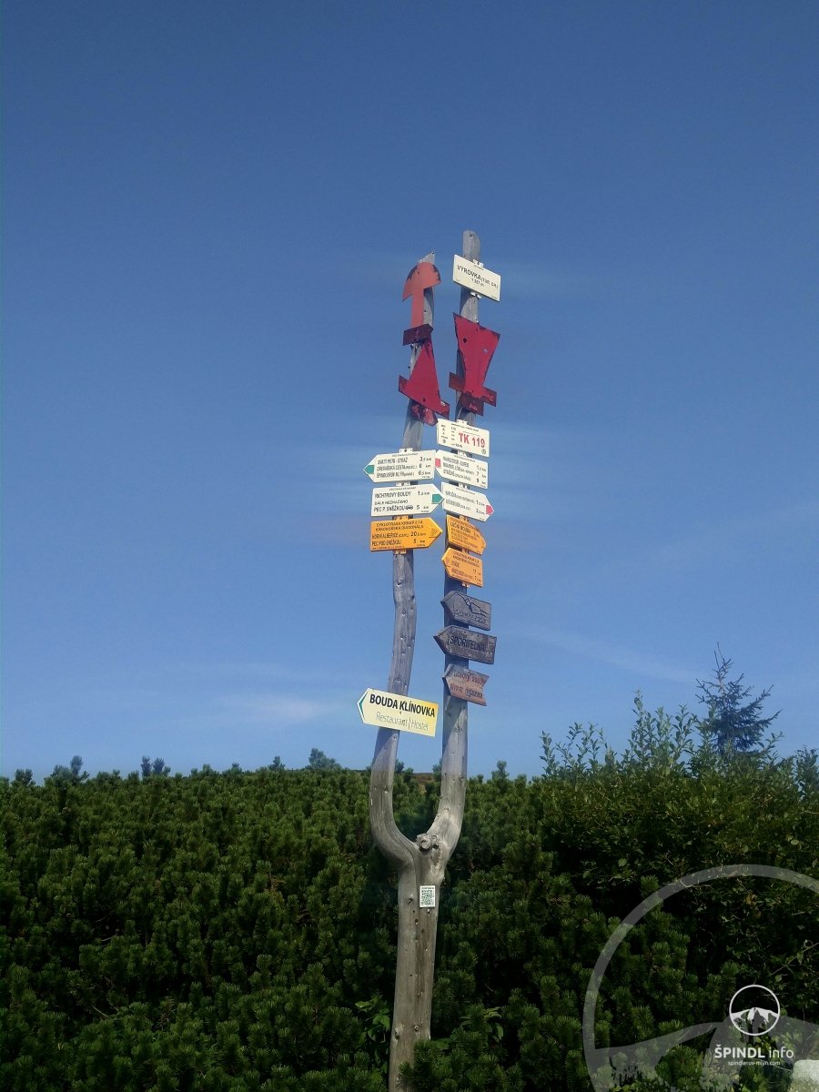
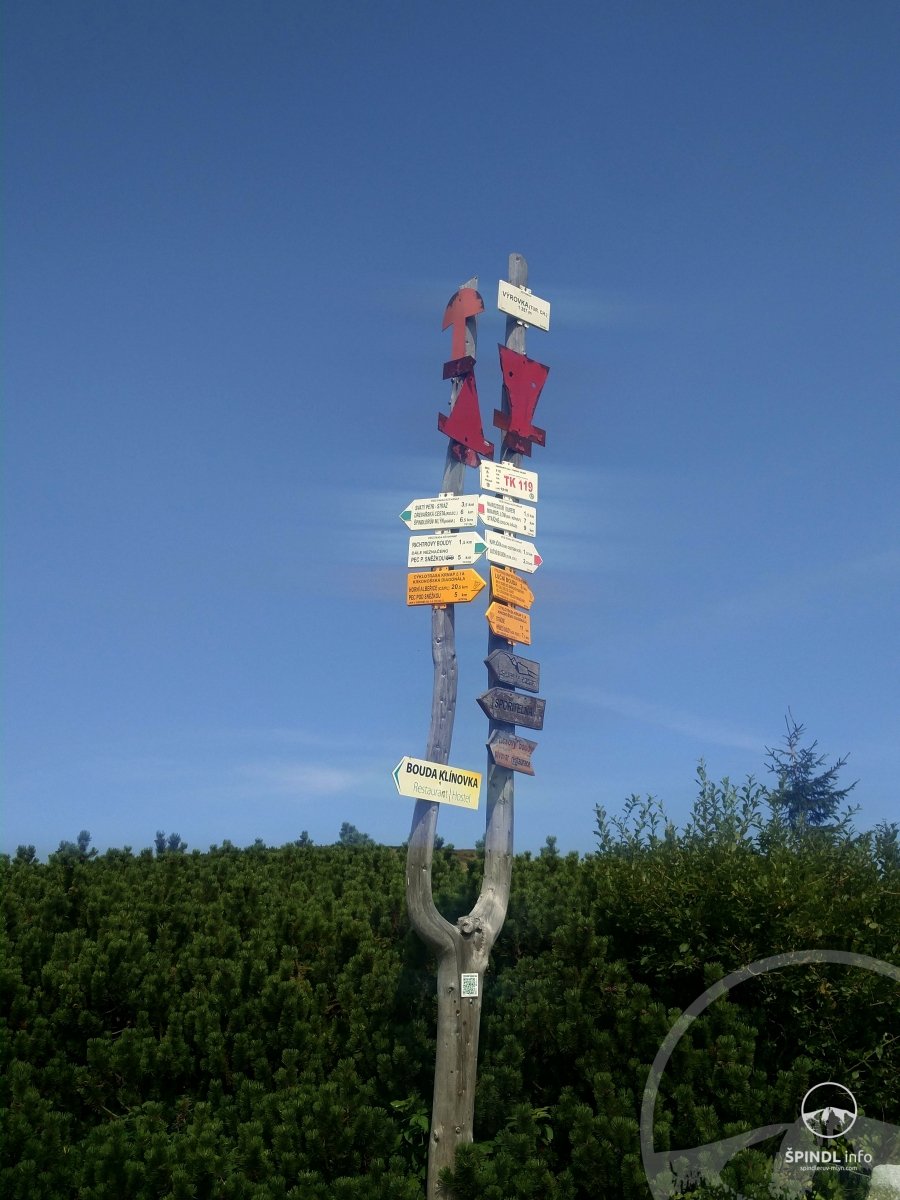
In the morning you take a bicycle bus from Špindl to the final cycle bus - Horní Malá Úpa / Pomezní boudy - cycle bus timetable HERE. You start the route in Horní Malá Úpa and drive through Krmelec u Kraví hory to Cestník - a beautiful lookout point. Lysečinské boudy is also worth a visit in this place. You go down to Spálený Mlýn - Dolní Malá Úpa and go through Janova Bouda and Bouda Danielka to Pec pod Sněžkou. From Pec you climb over Richter's huts in the direction of Výrovka. You continue to the crossroads of U Chalupy Na Rozcestí routes. In this place you have a choice: either you take a challenging route through Strážné - to Špindl 19 km / 1: 20h - map. Or through Klínovka with the fact that you ride the bike side by side for about 2 km and in Špindl you will be after 13 km in 50 minutes - map. It's up to you: more information HERE and HERE. But don't overestimate your strength.
Good to know: A very demanding cycle trip from Pomezní bud through Pec pod Sněžkou to Špindl. Depending on how much strength you still have, choose U Chalupy Na Rozcestí to return to Špindl, which we describe above HERE and HERE.
Brief description of the cycling route: Horní Malá Úpa → viewpoint Cestník → Spálený Mlýn / Dolní Malá Úpa → Janovy Boudy → Pec pod Sněžkou → Richtrovy boudy (permanently closed) → Chalupa Na Rozcestí → (HERE you can choose either via Klínovky - or via Strážné) → Dvorská bouda → Strážné → Hromovka → Špindl
Total length and duration of the cycle route: 40 km / approx. 4 - 6 h by bike + 2 h cycle bus Špindl - Horní Malá Úpa / Pomezní boudy
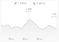
Elevation gain: ascent ↑ 1120 m, descent ↓ 1447 m
Difficulty: 5/5 really challenging
Refreshments on the bike path: YES - Krmelec u Kraví hory Bouda Jana, Bouda Danielka, Pec pod Sněžkou, Výrovka, Chalupa Na Rozcestí, Dvorská bouda, Obecní restaurace Strážné, Hromovka, Horalka
Cycling tour with children: NO - this is a demanding cycling tour with a large elevation gain.
GoTAXI - phone +420 774 800 006
Preview and cycling map Krkonoše cycle highway - Pomezní boudy - Pec - Strážné - Špindl
Altitude profile of the Krkonoše cycle route - Pomezní boudy - Pec - Strážné - Špindl
If you found a mistake in the article or would like to supplement it with your review, idea, interesting tip or advice, please write to us - HERE.
We will be happy to pass on your knowledge to others ;-)
Thank you very much for your feedback. Create the website www.Spindleruv-Mlyn.com together with us!
© Martin Jandura - SPINDL.info
The website operator does not accept any responsibility for any errors, incompleteness, inaccuracy or outdated information provided on this website.